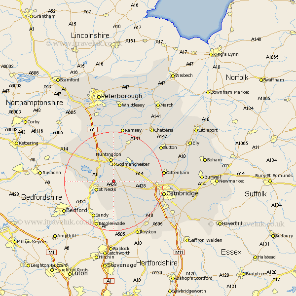
Cambridgeshire Map Showing Location of Graveley
Population: 223
District: South Cambridgeshire
Easting: 525139 Northing: 262940
Latitude: 52.25 Longitude: -0.17
 = Graveley
District: South Cambridgeshire
Easting: 525139 Northing: 262940
Latitude: 52.25 Longitude: -0.17
= Graveley
This Graveley map below is supplied by Google. Use the tools in the top left corner to zoom into street level or zoom out for a road map, you may also need to zoom in to see Graveley on the map. Click and drag the map to move around. If the map fails to load try and refresh your browser or zoom in or out (+ or -).
Update - it seems Google no longer allow people to use their maps for free! This Graveley map sometimes loads and sometimes gives a error. I am working on a solution.
Closest 30 Towns or Cities to Graveley (Population over 500)
Great Paxton 3.4km Papworth Everard 3.88km Papworth 3.88km Offord 4.34km Offord Cluny 4.34km Hilton 4.9km Little Paxton 5.67km Buckden 6.77km Elsworth 6.81km Godmanchester 7.42km Durolipons 7.42km St Neots 7.75km St. Neots 7.75km Saint Neots 7.75km Great Gransden 7.76km Gransden 7.76km Hail Weston 8.16km Hemingford 8.16km Hemingford Grey 8.16km Brampton Grange 8.69km Brampton 8.69km West Hemingford 8.69km Hemingford Abbots 8.69km Eaton Socon 8.77km Fen Stanton 8.79km St Ives 8.79km St. Ives 8.79km Saint Ives 8.79km Huntingdon 9.33km Grafham 9.69km