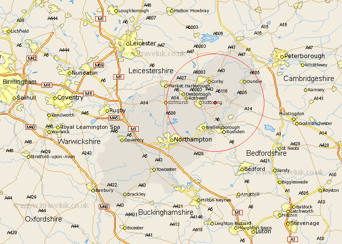
Northamptonshire Map Showing Location of Grafton
Population: 134
District: Kettering
Easting: 492972 Northing: 278919
Latitude: 52.4 Longitude: -0.63
 = Grafton
District: Kettering
Easting: 492972 Northing: 278919
Latitude: 52.4 Longitude: -0.63
= Grafton
This Grafton map below is supplied by Google. Use the tools in the top left corner to zoom into street level or zoom out for a road map, you may also need to zoom in to see Grafton on the map. Click and drag the map to move around. If the map fails to load try and refresh your browser or zoom in or out (+ or -).
Update - it seems Google no longer allow people to use their maps for free! This Grafton map sometimes loads and sometimes gives a error. I am working on a solution.
Closest 30 Towns or Cities to Grafton (Population over 500)
Geddington 5.02km Kettering 5.65km Woodford 5.85km Brigstock 6km Burton Latimer 6km Thrapston 6.78km Islip 7.04km Isham 7.17km Finedon 7.42km Stanion 7.5km Ringstead 7.93km Weldon 9.26km Corby 9.53km Irthlingborough 9.54km Broughton 9.78km Raunds 10.06km Titchmarsh 10.18km Stanwick 10.86km Rothwell 11.46km Rowell 11.46km Higham Ferrers 11.63km Wellingborough 12.01km Cottingham 12.18km Desborough 12.97km Rushden 13.41km Caldecott 14.15km Walgrave 14.49km Wilbarston 14.61km Oundle 14.61km Irchester 14.82km