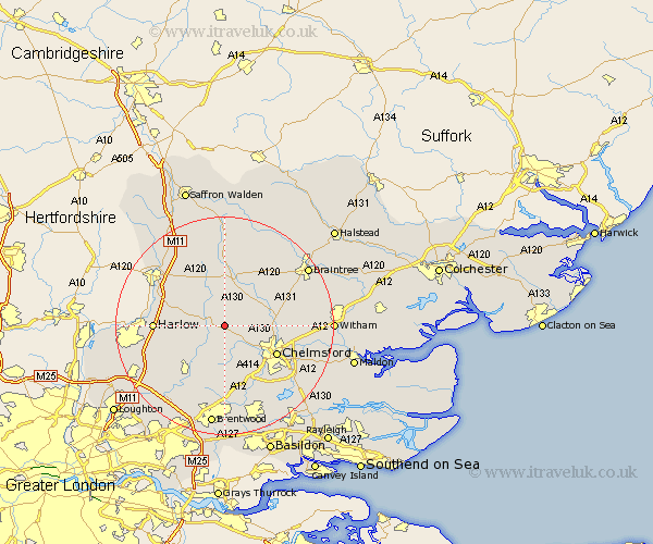
Essex Map Showing Location of Good Easter
Population: 376
District: Chelmsford
Easting: 562080 Northing: 212066
Latitude: 51.78 Longitude: 0.35
 = Good Easter
District: Chelmsford
Easting: 562080 Northing: 212066
Latitude: 51.78 Longitude: 0.35
= Good Easter
This Good Easter map below is supplied by Google. Use the tools in the top left corner to zoom into street level or zoom out for a road map, you may also need to zoom in to see Good Easter on the map. Click and drag the map to move around. If the map fails to load try and refresh your browser or zoom in or out (+ or -).
Update - it seems Google no longer allow people to use their maps for free! This Good Easter map sometimes loads and sometimes gives a error. I am working on a solution.
Closest 30 Towns or Cities to Good Easter (Population over 500)
High Easter 1.86km Roxwell 4.36km Great Waltham 6.88km Fyfield 7.99km Barnston 8.17km Felsted 8.17km Broomfield 8.24km Hatfield Broad Oak 8.84km Matching 9.17km Hatfield Heath 9.36km Little Waltham 9.36km Writtle 9.37km Chelmsford 10.73km High Ongar 10.9km Takeley 10.9km Great Dunmow 11.18km Dunmow 11.18km Chipping Ongar 11.54km Stebbing 12.03km Margaretting 12.03km Great Leighs 12.05km Galleywood 12.26km Harlow 12.61km Great Hallingbury 12.74km Hallingbury 12.74km Sheering 12.74km Great Easton 13.03km Ingatestone 13.17km Kelvedon Hatch 13.75km Great Baddow 13.87km