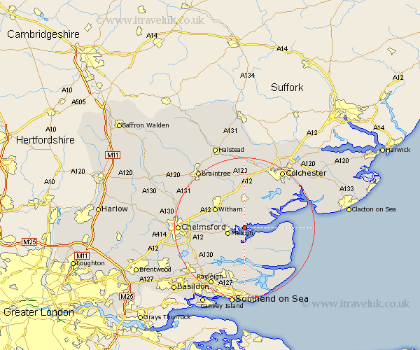
Essex Map Showing Location of Goldhanger
Population: 647
District: Maldon
Easting: 589873 Northing: 207472
Latitude: 51.73 Longitude: 0.75
 = Goldhanger
District: Maldon
Easting: 589873 Northing: 207472
Latitude: 51.73 Longitude: 0.75
= Goldhanger
This Goldhanger map below is supplied by Google. Use the tools in the top left corner to zoom into street level or zoom out for a road map, you may also need to zoom in to see Goldhanger on the map. Click and drag the map to move around. If the map fails to load try and refresh your browser or zoom in or out (+ or -).
Update - it seems Google no longer allow people to use their maps for free! This Goldhanger map sometimes loads and sometimes gives a error. I am working on a solution.
Closest 30 Towns or Cities to Goldhanger (Population over 500)
Tolleshunt Major 2.18km Heybridge 4.59km Malden 4.95km Maldon 4.95km Tolleshunt D'Arcy 5.06km Tolleshunt Knights 6.01km Tollesbury 6.03km Latchingdon and Snoreham 7.49km Snoreham 7.49km Latchingdon 7.49km Tiptree 7.51km Wickham Bishops 7.99km Totham 8.18km Great Totham 8.18km Woodham Mortimer 8.85km Althorne 9.26km Cold Norton 9.37km Mayland 9.54km Witham 9.77km Purleigh 10.12km Tillingham 10.74km Southminster 10.9km West Mersea 10.97km Kelvedon 11.64km Hatfield Peverel 11.73km Birch 12.03km North Fambridge 12.03km Fambridge 12.03km Rivenhall 12.51km Little Baddow 12.63km