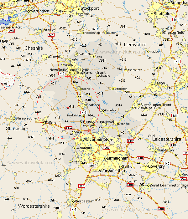
Staffordshire Map Showing Location of Gnosall
Population: 4223
Area Size (ha): 97
District: Stafford
Easting: 383140 Northing: 320702
Latitude: 52.78 Longitude: -2.25
 = Gnosall
Area Size (ha): 97
District: Stafford
Easting: 383140 Northing: 320702
Latitude: 52.78 Longitude: -2.25
= Gnosall
This Gnosall map below is supplied by Google. Use the tools in the top left corner to zoom into street level or zoom out for a road map, you may also need to zoom in to see Gnosall on the map. Click and drag the map to move around. If the map fails to load try and refresh your browser or zoom in or out (+ or -).
Update - it seems Google no longer allow people to use their maps for free! This Gnosall map sometimes loads and sometimes gives a error. I am working on a solution.
Closest 30 Towns or Cities to Gnosall (Population over 500)
Haughton 3.36km Church Eaton 3.87km Seighford 5.82km Eccleshall 7.42km Wheaton Aston 7.74km Blymhill 7.74km High Offley 7.89km Adbaston 8.73km Weston under Lizard 9.53km Weston-under-Lizard 9.53km Weston 9.53km Stafford 10.26km Penkridge 10.55km Hopton 11.51km Brewood 12.45km Bednall 12.47km Swynnerton 15km Swinnerton 15km Standon 15km Stone 15.16km Weston upon Trent 16.64km Weston 16.64km Codsall 17.02km Shareshill 17.15km Huntington 17.28km Colwich 17.93km Hilderstone 18.58km Hednesford 19.21km Cannock 19.25km Barlaston 19.36km