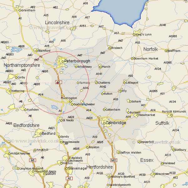
Cambridgeshire Map Showing Location of Glatton
Population: 304
District: Huntingdonshire
Easting: 515516 Northing: 284960
Latitude: 52.45 Longitude: -0.3
 = Glatton
District: Huntingdonshire
Easting: 515516 Northing: 284960
Latitude: 52.45 Longitude: -0.3
= Glatton
This Glatton map below is supplied by Google. Use the tools in the top left corner to zoom into street level or zoom out for a road map, you may also need to zoom in to see Glatton on the map. Click and drag the map to move around. If the map fails to load try and refresh your browser or zoom in or out (+ or -).
Update - it seems Google no longer allow people to use their maps for free! This Glatton map sometimes loads and sometimes gives a error. I am working on a solution.
Closest 30 Towns or Cities to Glatton (Population over 500)
Sawtry 2.92km Folksworth 3.7km Stilton 3.87km Holme 4.88km Yaxley 6.51km Alconbury 9.53km Farcet 10.3km Elton 10.85km Orton Waterville 11.12km Ramsey 12.42km Castor 13.17km Spaldwick 13.17km Bury 14.06km Wistow 14.66km Ellington 14.87km Huntingdon 15.2km Peterborough 15.2km Petersborough 15.2km Peterbrough 15.2km Brampton 15.5km Brampton Grange 15.5km Whittlesey 15.84km Grafham 16.72km Graffham 16.72km Warboys 16.77km Godmanchester 17.37km Durolipons 17.37km Kimbolton 17.61km Wyton 17.98km Eye 18.45km