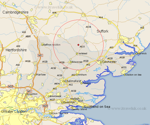
Essex Map Showing Location of Gestingthorpe
Population: 421
District: Braintree
Easting: 581823 Northing: 238726
Latitude: 52.02 Longitude: 0.65
 = Gestingthorpe
District: Braintree
Easting: 581823 Northing: 238726
Latitude: 52.02 Longitude: 0.65
= Gestingthorpe
This Gestingthorpe map below is supplied by Google. Use the tools in the top left corner to zoom into street level or zoom out for a road map, you may also need to zoom in to see Gestingthorpe on the map. Click and drag the map to move around. If the map fails to load try and refresh your browser or zoom in or out (+ or -).
Update - it seems Google no longer allow people to use their maps for free! This Gestingthorpe map sometimes loads and sometimes gives a error. I am working on a solution.
Closest 30 Towns or Cities to Gestingthorpe (Population over 500)
Bulmer 2.28km Castle Hedingham 5.05km Great Yeldham 5.7km Yeldham 5.7km Sible Hedingham 7.2km Halstead 7.5km Toppesfield 8.2km Ridgwell 8.8km Ridgewell 8.8km Earls Colne 9.89km Gosfield 10.34km Wakes Colne 13.06km Wethersfield 13.61km Chapel 13.69km Chappel 13.69km Steeple Bumpstead 13.81km Shalford 13.84km Great Tey 14.67km Great Bardfield 14.71km Finchingfield 14.78km Stisted 15.01km Fordham 15.14km Braintree 15.9km West Bergholt 16.78km Coggeshall 16.84km Bradwell 16.84km Rayne 17.29km Panfield 17.42km Horkesley 17.5km Great Horkesley 17.5km