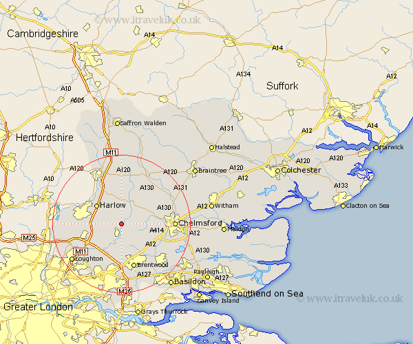
Essex Map Showing Location of Fyfield
Population: 737
District: Epping Forest
Easting: 556506 Northing: 206325
Latitude: 51.73 Longitude: 0.27
 = Fyfield
District: Epping Forest
Easting: 556506 Northing: 206325
Latitude: 51.73 Longitude: 0.27
= Fyfield
This Fyfield map below is supplied by Google. Use the tools in the top left corner to zoom into street level or zoom out for a road map, you may also need to zoom in to see Fyfield on the map. Click and drag the map to move around. If the map fails to load try and refresh your browser or zoom in or out (+ or -).
Update - it seems Google no longer allow people to use their maps for free! This Fyfield map sometimes loads and sometimes gives a error. I am working on a solution.
Closest 30 Towns or Cities to Fyfield (Population over 500)
High Ongar 3.7km Chipping Ongar 3.88km Matching 6.54km Kelvedon Hatch 7.49km North Weald 7.82km Ongar Station 7.82km Stanford Rivers 8.17km Hatfield Heath 8.18km Roxwell 8.24km Harlow 8.85km North Weald Bassett 8.85km High Easter 9.38km Sheering 10.12km Ingatestone 10.93km Epping 10.98km Hatfield Broad Oak 11.18km Navestock 11.35km Writtle 11.63km Margaretting 11.74km Great Hallingbury 12.51km Hallingbury 12.51km Mountnessing 12.52km Brentwood 13.42km Theydon Bois 13.67km Nazeing 13.77km Great Waltham 13.79km Broomfield 14.26km Galleywood 14.27km Stock 14.76km Takeley 14.83km