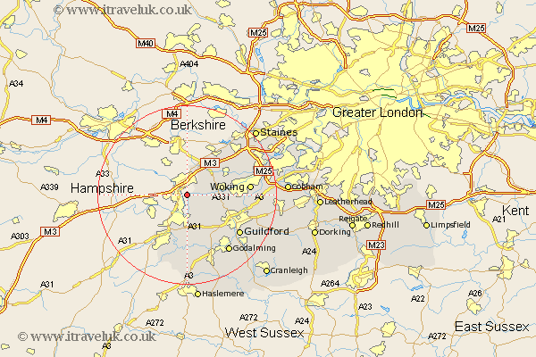
Surrey Map Showing Location of Frimley
Population: 45215
Area Size (ha): 1610
District: Surrey Heath
Easting: 488297 Northing: 156470
Latitude: 51.3 Longitude: -0.73
 = Frimley
Area Size (ha): 1610
District: Surrey Heath
Easting: 488297 Northing: 156470
Latitude: 51.3 Longitude: -0.73
= Frimley
This Frimley map below is supplied by Google. Use the tools in the top left corner to zoom into street level or zoom out for a road map, you may also need to zoom in to see Frimley on the map. Click and drag the map to move around. If the map fails to load try and refresh your browser or zoom in or out (+ or -).
Update - it seems Google no longer allow people to use their maps for free! This Frimley map sometimes loads and sometimes gives a error. I am working on a solution.
Closest 30 Towns or Cities to Frimley (Population over 500)
Deepcut 1.16km Camberley 5.56km Camberly 5.56km Pirbright 7.2km Normandy 7.24km Bisley 7.87km Bagshot 8.19km Tongham 9.26km Windlesham 9.41km Worplesdon 9.46km Chobham 9.98km Seale 11.18km Puttenham 12.05km Farnham 12.05km Compton 13.12km Woking 14.02km Send 14.03km Virginia Water 14.47km Guilford 14.84km Guildford 14.84km Ottershaw 14.97km Elstead 15km Goldaming 15.95km Godalming 15.95km Shalford 16.07km Milford 16.38km West Clandon 17.16km Frensham 17.31km Egham 17.39km Ripley 17.48km