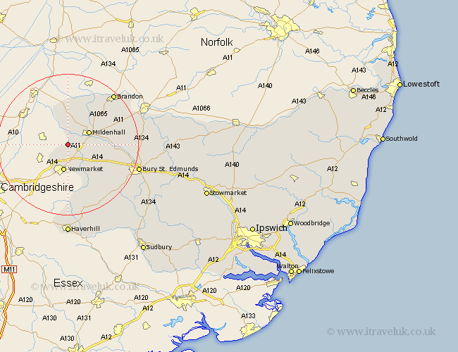
Suffolk Map Showing Location of Freckenham
Population: 365
District: Forest Heath
Easting: 565839 Northing: 271563
Latitude: 52.32 Longitude: 0.43
 = Freckenham
District: Forest Heath
Easting: 565839 Northing: 271563
Latitude: 52.32 Longitude: 0.43
= Freckenham
This Freckenham map below is supplied by Google. Use the tools in the top left corner to zoom into street level or zoom out for a road map, you may also need to zoom in to see Freckenham on the map. Click and drag the map to move around. If the map fails to load try and refresh your browser or zoom in or out (+ or -).
Update - it seems Google no longer allow people to use their maps for free! This Freckenham map sometimes loads and sometimes gives a error. I am working on a solution.
Closest 30 Towns or Cities to Freckenham (Population over 500)
Mildenhall 6.77km Newmarket 7.5km Exning 7.94km Moulton 8.16km Eriswell 8.78km Gazeley 9.34km Barrow 13.79km Risby 14.69km Lakenheath 15.81km Lake Heath 15.81km Chevington 18km Fornham All Saints 18.97km Brandon 19.35km Chedburgh 19.38km Wickhambrook 20.64km Bury St Edmunds 20.65km Bury St. Edmunds 20.65km Bury Saint Edmunds 20.65km Barnham 21.12km Thurlow 22.27km Great Barton 23.34km Troston 23.79km Honington 24.99km Rushbrooke 25.26km Hundon 25.37km Haverhill 25.95km Kedington 26.18km Thurston 27.11km Ixworth 27.26km Lawshall 27.59km