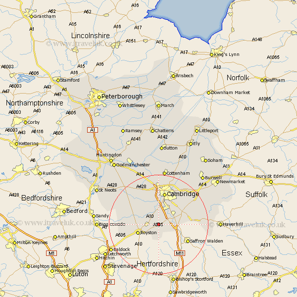
Cambridgeshire Map Showing Location of Fowlmere
Population: 1190
District: South Cambridgeshire
Easting: 542734 Northing: 244865
Latitude: 52.08 Longitude: 0.08
 = Fowlmere
District: South Cambridgeshire
Easting: 542734 Northing: 244865
Latitude: 52.08 Longitude: 0.08
= Fowlmere
This Fowlmere map below is supplied by Google. Use the tools in the top left corner to zoom into street level or zoom out for a road map, you may also need to zoom in to see Fowlmere on the map. Click and drag the map to move around. If the map fails to load try and refresh your browser or zoom in or out (+ or -).
Update - it seems Google no longer allow people to use their maps for free! This Fowlmere map sometimes loads and sometimes gives a error. I am working on a solution.
Closest 30 Towns or Cities to Fowlmere (Population over 500)
Thriplow 2.18km Foxton 3.88km Shepreth 4.36km Melborn 4.56km Melbourn 4.56km Duxford 4.56km Meldreth 4.92km Barrington 5.05km Harston 5.56km Whittlesford 5.88km Haslingfield 6.01km Shelford 6.52km Sawston 6.8km Ickleton 7.08km Hauxton 7.5km Needham Market 8.16km Orwell 8.81km Bassingbourn 9.3km Litlington 11.54km Comberton 11.63km Linton 12.66km Coton 13.03km Toft 13.05km Cambridge 13.17km Hardwick 13.75km Hardwicke 13.75km Steeple Morden 14.16km Bourn 14.37km Fulbourne 14.37km Fulbourn 14.37km