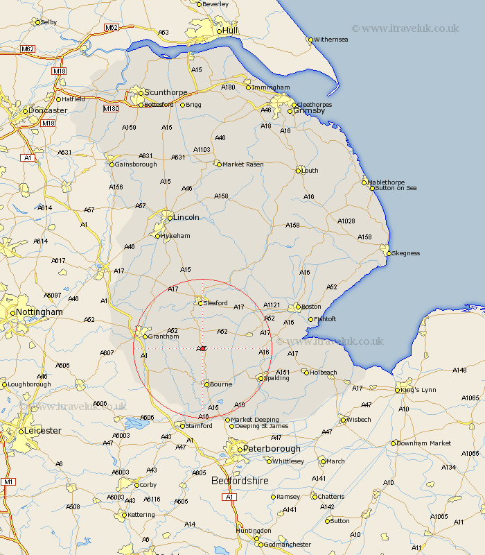
Lincolnshire Map Showing Location of Folkingham
Population: 729
District: South Kesteven
Easting: 507692 Northing: 331148
Latitude: 52.87 Longitude: -0.4
 = Folkingham
District: South Kesteven
Easting: 507692 Northing: 331148
Latitude: 52.87 Longitude: -0.4
= Folkingham
This Folkingham map below is supplied by Google. Use the tools in the top left corner to zoom into street level or zoom out for a road map, you may also need to zoom in to see Folkingham on the map. Click and drag the map to move around. If the map fails to load try and refresh your browser or zoom in or out (+ or -).
Update - it seems Google no longer allow people to use their maps for free! This Folkingham map sometimes loads and sometimes gives a error. I am working on a solution.
Closest 30 Towns or Cities to Folkingham (Population over 500)
Billingborough 4.84km Pointon 4.85km Rippingale 5.99km Ropsley 8.04km Morton 9.54km Helpringham 9.99km Corby 10.79km Bourne 11.18km Bourn 11.18km Great Hale 12.12km Hale 12.12km Heckington 13.6km Donington 13.92km Sleaford 14.09km Ancaster 14.27km Belton 15.32km Quadring 15.66km Grantham 16.09km Colsterworth 16.33km Bicker 16.61km Heasingham 16.72km Leasingham 16.72km Thurlby 16.83km Gosberton 16.89km Castle Bytham 17.33km Spalding 18.22km Surfleet 18.29km Swineshead 18.33km Pinchbeck 18.36km Ruskington 18.56km