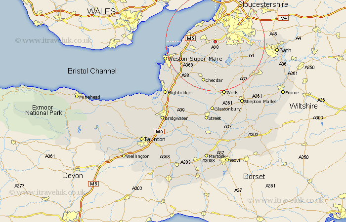
Somerset Map Showing Location of Flax Bourton
Population: 659
Easting: 351327 Northing: 168918
Latitude: 51.42 Longitude: -2.7
 = Flax Bourton
Easting: 351327 Northing: 168918
Latitude: 51.42 Longitude: -2.7
= Flax Bourton
This Flax Bourton map below is supplied by Google. Use the tools in the top left corner to zoom into street level or zoom out for a road map, you may also need to zoom in to see Flax Bourton on the map. Click and drag the map to move around. If the map fails to load try and refresh your browser or zoom in or out (+ or -).
Update - it seems Google no longer allow people to use their maps for free! This Flax Bourton map sometimes loads and sometimes gives a error. I am working on a solution.
Closest 30 Towns or Cities to Flax Bourton (Population over 500)
Long Ashton 3.93km Wraxall 4.36km Nailsea 4.98km Dundry 4.98km Winford 5.08km Portbury 5.68km Portishead 7.23km Wrington 7.23km Chew Magna 8.02km Great Chew 8.02km Chew Stoke 8.74km Weston 8.88km Weston Down 8.88km Weston in Gordano 8.88km Congresbury 8.89km Yatton 8.91km Blagdon 9.35km Whitchurch 9.43km Clevedon 10.56km Churchill 11.58km Publow 12.83km Sandford 13.1km Compton Dando 13.25km Compton Martin 13.43km East Harptree 13.78km Keynsham 14km Temple Cloud 14.66km Shipham 14.72km Clutton 14.83km Wick St. Lawrence 15.48km