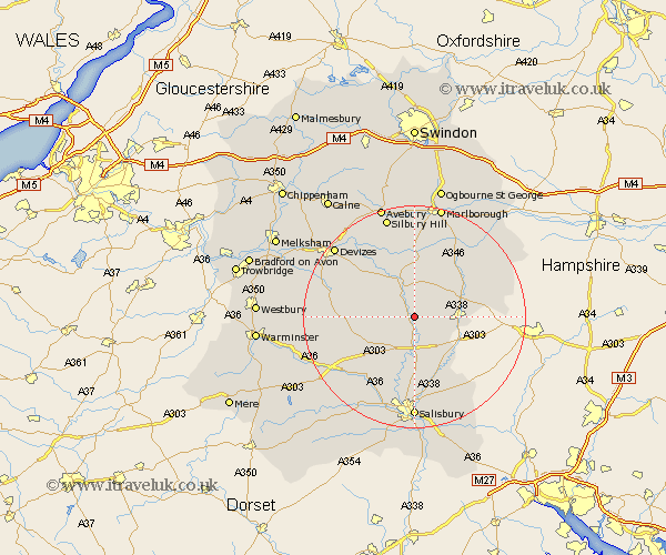
Wiltshire Map Showing Location of Fittleton
Population: 234
District: Kennet
Easting: 415125 Northing: 148314
Latitude: 51.23 Longitude: -1.78
 = Fittleton
District: Kennet
Easting: 415125 Northing: 148314
Latitude: 51.23 Longitude: -1.78
= Fittleton
This Fittleton map below is supplied by Google. Use the tools in the top left corner to zoom into street level or zoom out for a road map, you may also need to zoom in to see Fittleton on the map. Click and drag the map to move around. If the map fails to load try and refresh your browser or zoom in or out (+ or -).
Update - it seems Google no longer allow people to use their maps for free! This Fittleton map sometimes loads and sometimes gives a error. I am working on a solution.
Closest 30 Towns or Cities to Fittleton (Population over 500)
Figheldean 1.85km Enford 2.19km Bulford 3.88km Durrington 5.68km Lark Hill 6.02km Upavon 6.03km Amesbury 7.41km Tidworth 8.12km North Tidworth 8.12km Shrewton 9.85km Ludgershall 10km Lugershall 10km Collingbourne Ducis 10.82km Pewsey 11.36km Idmiston 12.05km Urchfont 12.8km Burbage 13.77km Lavington 14.99km Market Lavington 14.99km Winterbourne 15km Winterbourne Dauntsey 15km West Lavington 15.2km Grafton 15.25km Steeple Langford 15.26km Longford 15.26km South Newton 15.92km Wilton 17.66km Salisbury 18.52km New Sarum 18.52km Winterslow 18.56km