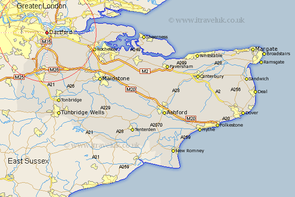
Kent Map Showing Location of Dartford
Population: 59131
Area Size (ha): 1404
District: Dartford
Easting: 554009 Northing: 174719
Latitude: 51.45 Longitude: 0.22
 = Dartford
Area Size (ha): 1404
District: Dartford
Easting: 554009 Northing: 174719
Latitude: 51.45 Longitude: 0.22
= Dartford
This Dartford map below is supplied by Google. Use the tools in the top left corner to zoom into street level or zoom out for a road map, you may also need to zoom in to see Dartford on the map. Click and drag the map to move around. If the map fails to load try and refresh your browser or zoom in or out (+ or -).
Update - it seems Google no longer allow people to use their maps for free! This Dartford map sometimes loads and sometimes gives a error. I am working on a solution.
Closest 30 Towns or Cities to Dartford (Population over 500)
Wilmington 3.88km Darenth 3.88km Stonewood 4.98km Swanscombe 7.18km Swanley 8.19km Hextable 8.28km Northfleet 8.3km Southfleet 8.89km Farningham 9.26km Longfield 10.15km Gravesend 10.56km Eynsford 11.12km Hartley 11.57km Ash 12.53km West Kingsdown 13.18km Meopham 13.93km Ridley 14.72km Cobham 14.72km Shoreham 15.01km Fort Halstead 15.91km Halsted 15.91km Halstead 15.91km Shorne 16.02km Kemsing 16.72km Otford 16.84km Higham 17.43km Wrotham 18.07km Seal 18.54km Knockholt 18.54km Borough Green 19.42km