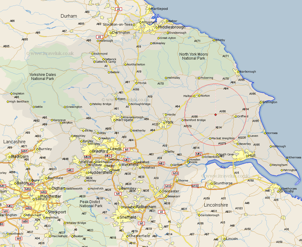
Yorkshire Map Showing Location of Fimber
Population: 91
Easting: 490629 Northing: 458760
Latitude: 54.02 Longitude: -0.62
 = Fimber
Easting: 490629 Northing: 458760
Latitude: 54.02 Longitude: -0.62
= Fimber
This Fimber map below is supplied by Google. Use the tools in the top left corner to zoom into street level or zoom out for a road map, you may also need to zoom in to see Fimber on the map. Click and drag the map to move around. If the map fails to load try and refresh your browser or zoom in or out (+ or -).
Update - it seems Google no longer allow people to use their maps for free! This Fimber map sometimes loads and sometimes gives a error. I am working on a solution.
Closest 30 Towns or Cities to Fimber (Population over 500)
Wetwang 3.76km North Frodingham 10.34km Driffield 12.03km Pocklington 12.73km Cranswick 14.1km Great Driffield 15.13km Fangfoss 15.22km Nafferton 15.24km Lockington 15.64km Rillington 15.79km Barmby on the Moor 16.03km Barmby-on-the-Moor 16.03km Barmby 16.03km Norton 16.55km Kilham 16.74km Market Weighton 17km Sherburn 17.91km Malton 18.09km Cherry Burton 18.34km Wilberfoss 18.95km Leconfield 19.93km Leckonfield 19.93km Stamford Bridge 19.96km Yedingham 20.38km Melbourne 21.29km Willerby 21.48km Bishop Burton 21.78km Snainton 22.34km Sutton 22.55km Sutton upon Derwent 22.55km