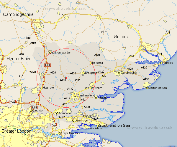
Essex Map Showing Location of Felsted
Population: 2843
District: Uttlesford
Easting: 565284 Northing: 219594
Latitude: 51.85 Longitude: 0.4
 = Felsted
District: Uttlesford
Easting: 565284 Northing: 219594
Latitude: 51.85 Longitude: 0.4
= Felsted
This Felsted map below is supplied by Google. Use the tools in the top left corner to zoom into street level or zoom out for a road map, you may also need to zoom in to see Felsted on the map. Click and drag the map to move around. If the map fails to load try and refresh your browser or zoom in or out (+ or -).
Update - it seems Google no longer allow people to use their maps for free! This Felsted map sometimes loads and sometimes gives a error. I am working on a solution.
Closest 30 Towns or Cities to Felsted (Population over 500)
Stebbing 3.88km Dunmow 4.35km Great Dunmow 4.35km High Easter 6.54km Great Easton 7.2km Little Waltham 7.98km Great Waltham 8.17km Panfield 8.82km Great Leighs 8.83km Takeley 9.34km Broxted 10.11km Black Notley 10.3km Broomfield 10.33km Hatfield Broad Oak 10.47km Great Bardfield 10.89km Roxwell 11.18km Thaxted 11.35km Shalford 11.53km Terling 11.71km Braintree 12.03km Wethersfield 12.5km Rayne 12.73km Finchingfield 13.42km Elsenham 13.63km Cressing 13.74km Hatfield Heath 13.77km Henham 13.85km Boreham 13.86km Chelmsford 14.18km Matching 14.62km