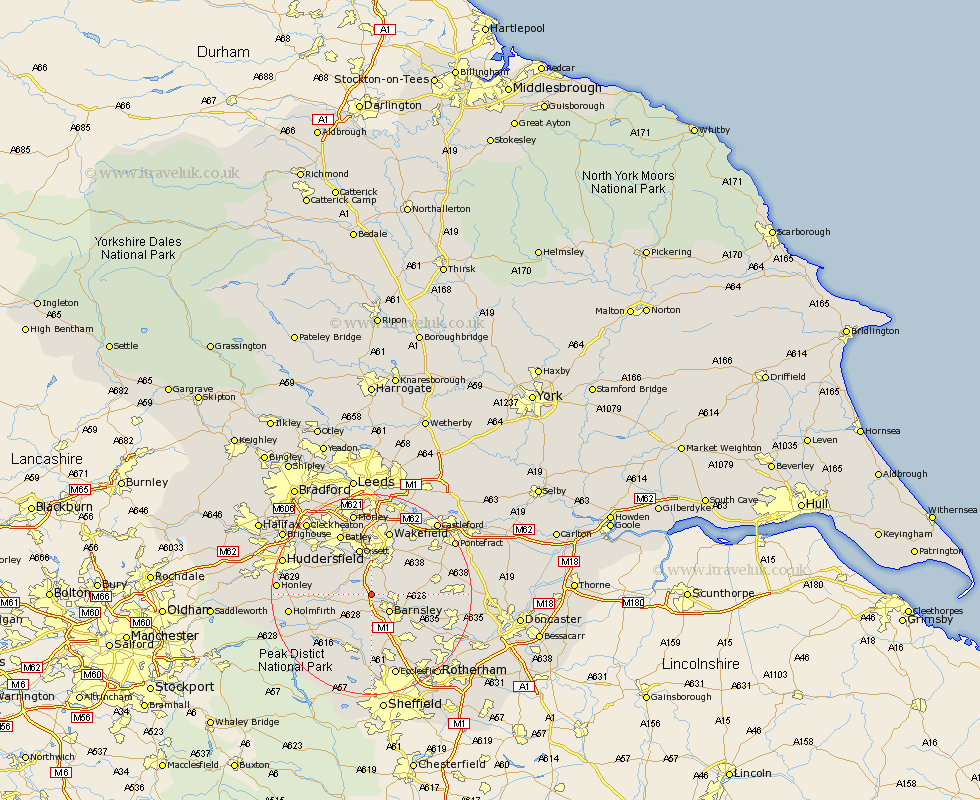
Yorkshire Map Showing Location of Darton
Population: 13612
Area Size (ha): 372
District: Barnsley
Easting: 430891 Northing: 409766
Latitude: 53.58 Longitude: -1.53
 = Darton
Area Size (ha): 372
District: Barnsley
Easting: 430891 Northing: 409766
Latitude: 53.58 Longitude: -1.53
= Darton
This Darton map below is supplied by Google. Use the tools in the top left corner to zoom into street level or zoom out for a road map, you may also need to zoom in to see Darton on the map. Click and drag the map to move around. If the map fails to load try and refresh your browser or zoom in or out (+ or -).
Update - it seems Google no longer allow people to use their maps for free! This Darton map sometimes loads and sometimes gives a error. I am working on a solution.
Closest 30 Towns or Cities to Darton (Population over 500)
Woolley 2.15km Notton 3.78km Cawthorne 3.78km West Bretton 4.31km Bretton 4.31km Barnsley 4.96km Crigglestone 5.56km Dodworth 5.56km Royston 5.8km Silkstone 5.98km Ryhill 7.57km Emley 7.57km Shafton 7.7km Cudworth 7.92km Worsborough 8.11km Worsbrough 8.11km Middlestown 8.62km Middletown 8.62km Denby Dale 9km Penistone 9.23km Horbury 9.33km Ossett 9.53km Birdwell 9.84km Shelley 10.07km Crofton 10.68km Hoyland 10.78km Hoyland Nether 10.78km Wortley 11.12km Kirkburton 11.16km Fitzwilliam 11.35km