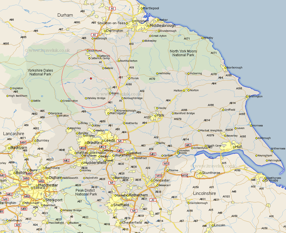
Yorkshire Map Showing Location of Fearby
Population: 123
District: Harrogate
Easting: 419560 Northing: 480167
Latitude: 54.22 Longitude: -1.7
 = Fearby
District: Harrogate
Easting: 419560 Northing: 480167
Latitude: 54.22 Longitude: -1.7
= Fearby
This Fearby map below is supplied by Google. Use the tools in the top left corner to zoom into street level or zoom out for a road map, you may also need to zoom in to see Fearby on the map. Click and drag the map to move around. If the map fails to load try and refresh your browser or zoom in or out (+ or -).
Update - it seems Google no longer allow people to use their maps for free! This Fearby map sometimes loads and sometimes gives a error. I am working on a solution.
Closest 30 Towns or Cities to Fearby (Population over 500)
Masham 3.25km Grewelthorpe 4.94km Kirkby Malzeard 6.44km West Tanfield 8.87km Tanfield 8.87km Middleham 10.6km Bedale 10.6km Crakehall 10.73km Leyburn 11.97km Bewerley 15.46km Ripon 16.31km Catterick 17.23km Bradley 17.34km Dacre 18.57km Scorton 19.63km Monkton 19.74km Bishop Monkton 19.74km Dishforth 19.87km Darley 20.39km Richmond 20.5km Topcliffe 20.93km Birstwith 21.1km Burton Leonard 21.16km Northallerton 21.63km North Cowton 22.59km Hampsthwaite 23.17km Brompton 23.62km Thirsk 23.84km Gilling 24.11km Killinghall 24.3km