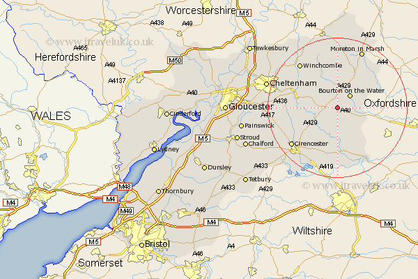
Gloucestershire Map Showing Location of Farmington
Population: 134
District: Cotswold
Easting: 413779 Northing: 215033
Latitude: 51.83 Longitude: -1.8
 = Farmington
District: Cotswold
Easting: 413779 Northing: 215033
Latitude: 51.83 Longitude: -1.8
= Farmington
This Farmington map below is supplied by Google. Use the tools in the top left corner to zoom into street level or zoom out for a road map, you may also need to zoom in to see Farmington on the map. Click and drag the map to move around. If the map fails to load try and refresh your browser or zoom in or out (+ or -).
Update - it seems Google no longer allow people to use their maps for free! This Farmington map sometimes loads and sometimes gives a error. I am working on a solution.
Closest 30 Towns or Cities to Farmington (Population over 500)
Northleach 1.14km Bourton-on-the-Water 5.06km Bourton on the Water 5.06km Chedworth 8.83km Bibury 9.33km Withington 10.31km Andoversford 10.95km Stow-on-the-Wold 12.02km Stow on the Wold 12.02km Bledington 12.73km Quenington 13.02km North Cerney 13.65km Fairford 14.87km Ampney St Peter 15.89km Ampney 15.89km Ampney Saint Peter 15.89km Ampney St. Peter 15.89km Lechlade 16.34km Winchcombe 16.56km Winchcomb 16.56km Cicester 16.81km Cirencester 16.81km Moreton in Marsh 18.04km Moreton in the Marsh 18.04km Moreton-in-Marsh 18.04km Kempsford 18.67km Charlton Kings 18.69km Siddington 19.62km Leckhampton 19.81km South Cerney 20.19km