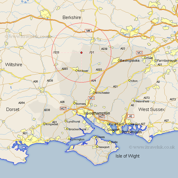
Hampshire Map Showing Location of Faccombe
Population: 106
District: Test Valley
Easting: 439487 Northing: 157718
Latitude: 51.32 Longitude: -1.43
 = Faccombe
District: Test Valley
Easting: 439487 Northing: 157718
Latitude: 51.32 Longitude: -1.43
= Faccombe
This Faccombe map below is supplied by Google. Use the tools in the top left corner to zoom into street level or zoom out for a road map, you may also need to zoom in to see Faccombe on the map. Click and drag the map to move around. If the map fails to load try and refresh your browser or zoom in or out (+ or -).
Update - it seems Google no longer allow people to use their maps for free! This Faccombe map sometimes loads and sometimes gives a error. I am working on a solution.
Closest 30 Towns or Cities to Faccombe (Population over 500)
East Woodhay 3.88km Hurstbourne Tarrant 5.68km Vernhams Dean 6.08km Vernham Dean 6.08km Highclere 7.19km Tangley 8.03km Burghclere 8.11km Ecchinswell 11.73km Kingsclere 12.74km Whitchurch 13.12km Andover 13.43km Longparish 15.01km Upper Clatford 15.24km Overton 15.77km Abbots Ann 15.93km Abbotts Ann 15.93km Thruxton 16.65km Lower Clatford 17.04km Clatford 17.04km Goodworth Clatford 17.04km Barton Stacey 17.31km Chilbolton 18.54km Baughurst 18.62km Oakley 18.9km Wonston 20.24km Tadley 21.17km North Waltham 21.7km Micheldever 23.46km Over Wallop 23.46km Dummer 23.6km