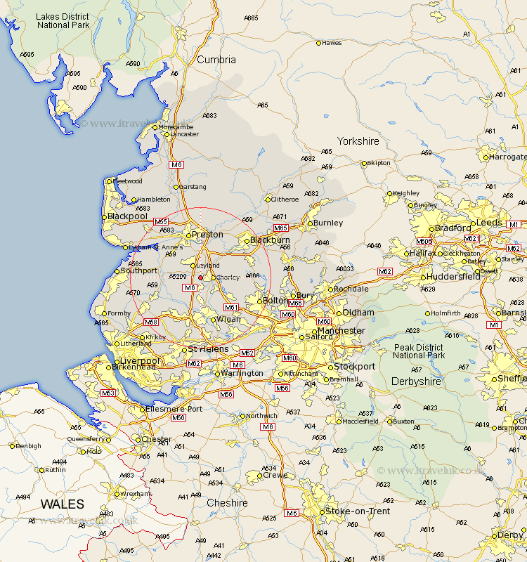
Lancashire Map Showing Location of Euxton
Population: 7730
Area Size (ha): 180
District: Chorley
Easting: 355938 Northing: 417287
Latitude: 53.65 Longitude: -2.67
 = Euxton
Area Size (ha): 180
District: Chorley
Easting: 355938 Northing: 417287
Latitude: 53.65 Longitude: -2.67
= Euxton
This Euxton map below is supplied by Google. Use the tools in the top left corner to zoom into street level or zoom out for a road map, you may also need to zoom in to see Euxton on the map. Click and drag the map to move around. If the map fails to load try and refresh your browser or zoom in or out (+ or -).
Update - it seems Google no longer allow people to use their maps for free! This Euxton map sometimes loads and sometimes gives a error. I am working on a solution.
Closest 30 Towns or Cities to Euxton (Population over 500)
Chorley 3.3km Heapey 3.78km Eccleston 3.78km Coppull 3.86km Leyland 4.31km Penrith 4.39km Croston 6.59km Adlington 7.09km Standish 7.42km Brinscall 7.56km Mawdesley 7.56km Farrington 7.73km Farington 7.73km Haigh 7.82km Bretherton 8.98km Hoghton 9.23km Blackrod 9.23km Shevington 9.33km Withnell 9.49km Horwich 9.49km Appley Bridge 9.83km Parbold 9.93km Hoole 10.39km Much Hoole 10.39km Tarleton 11.14km Hutton 11.36km Longton 11.49km Rufford 11.6km Penwortham 11.95km Burscough 13.26km