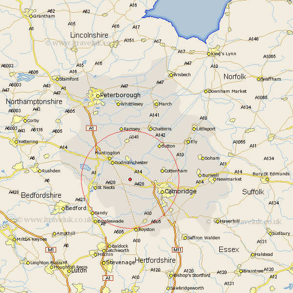
Cambridgeshire Map Showing Location of Elsworth
Population: 657
District: South Cambridgeshire
Easting: 531964 Northing: 263118
Latitude: 52.25 Longitude: -0.07
 = Elsworth
District: South Cambridgeshire
Easting: 531964 Northing: 263118
Latitude: 52.25 Longitude: -0.07
= Elsworth
This Elsworth map below is supplied by Google. Use the tools in the top left corner to zoom into street level or zoom out for a road map, you may also need to zoom in to see Elsworth on the map. Click and drag the map to move around. If the map fails to load try and refresh your browser or zoom in or out (+ or -).
Update - it seems Google no longer allow people to use their maps for free! This Elsworth map sometimes loads and sometimes gives a error. I am working on a solution.
Closest 30 Towns or Cities to Elsworth (Population over 500)
Hilton 2.93km Papworth Everard 3.88km Papworth 3.88km St. Ives 5.56km St Ives 5.56km Fen Stanton 5.56km Saint Ives 5.56km Dry Drayton 7.06km Swavesey 7.18km Bourn 7.5km West Hemingford 7.76km Hemingford Abbots 7.76km Hardwick 7.95km Hardwicke 7.95km Hemingford 8.16km Hemingford Grey 8.16km Needingworth 8.16km Toft 8.16km Gransden 8.7km Great Gransden 8.7km Long Stanton 8.76km Oakington 9.26km Over 9.33km Offord 9.8km Offord Cluny 9.8km Wyton 9.87km Durolipons 10.06km Godmanchester 10.06km Comberton 10.07km Great Paxton 10.21km