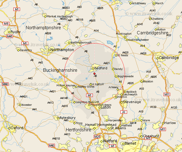
Bedfordshire Map Showing Location of Elstow
Population: 2049
District: Bedford
Easting: 505016 Northing: 245784
Latitude: 52.1 Longitude: -0.47
 = Elstow
District: Bedford
Easting: 505016 Northing: 245784
Latitude: 52.1 Longitude: -0.47
= Elstow
This Elstow map below is supplied by Google. Use the tools in the top left corner to zoom into street level or zoom out for a road map, you may also need to zoom in to see Elstow on the map. Click and drag the map to move around. If the map fails to load try and refresh your browser or zoom in or out (+ or -).
Update - it seems Google no longer allow people to use their maps for free! This Elstow map sometimes loads and sometimes gives a error. I am working on a solution.
Closest 30 Towns or Cities to Elstow (Population over 500)
Elstow 0km Kempston 1.14km Bedford 3.81km Wootton 3.89km Biddenham 4.35km Willshamstead 4.35km Wilhamstead 4.35km Wilshamstead 4.35km Wilstead 4.35km Houghton Conquest 5.56km Clapham 5.68km Cople 5.99km Bromham 6.52km Haynes 6.53km Ampthill 7.76km Willington 7.77km Marston Moretaine 7.96km Oakley 8.16km Maulden 9.33km Stevington 9.35km Lidlington 9.35km Great Barford 9.71km Cranfield 9.83km Milton Ernest 9.87km Clophill 9.87km Campton and Chicksands 10.09km Northill 10.25km Pavenham 10.87km Blunham 10.89km Thurleigh 11.18km