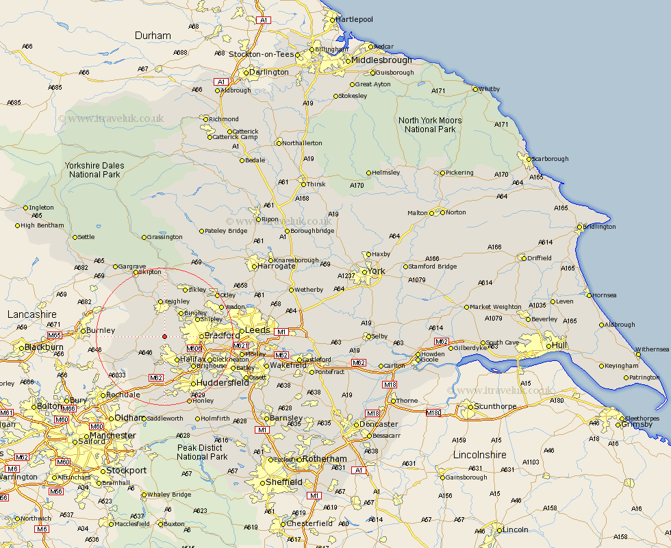
Yorkshire Map Showing Location of Denholme
Population: 2246
Area Size (ha): 43
District: Bradford
Easting: 406588 Northing: 431914
Latitude: 53.78 Longitude: -1.9
 = Denholme
Area Size (ha): 43
District: Bradford
Easting: 406588 Northing: 431914
Latitude: 53.78 Longitude: -1.9
= Denholme
This Denholme map below is supplied by Google. Use the tools in the top left corner to zoom into street level or zoom out for a road map, you may also need to zoom in to see Denholme on the map. Click and drag the map to move around. If the map fails to load try and refresh your browser or zoom in or out (+ or -).
Update - it seems Google no longer allow people to use their maps for free! This Denholme map sometimes loads and sometimes gives a error. I am working on a solution.
Closest 30 Towns or Cities to Denholme (Population over 500)
Queensbury 2.15km Cullingworth 3.71km Oxenhope 3.77km Wilsden 4.31km Haworth 4.96km Luddenden Foot 7.72km Halifax 8.1km Heptonstall 8.52km Hebden Bridge 8.52km Bingley 8.61km Mytholmroyd 9.21km Bradford 9.85km Shipley 10.37km Keighley 11.17km Baildon 11.47km Steeton 11.6km Elland 11.95km Brighouse 12.03km Sutton-in-Craven 12.39km Silsden 13.16km Ripponden 13.38km Todmorden 14.15km Cleckheaton 14.15km Glusburn 14.54km Guiseley 15.19km Pudsey 15.33km Menston 15.6km Ilkley 15.81km Liversedge 16.09km Cononley 16.69km