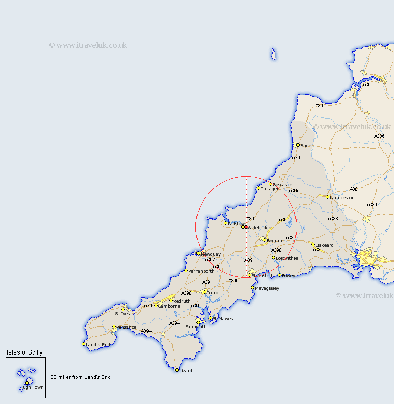
Cornwall Map Showing Location of Egloshayle
Population: 371
District: North Cornwall
Easting: 200343 Northing: 72401
Latitude: 50.52 Longitude: -4.82
 = Egloshayle
District: North Cornwall
Easting: 200343 Northing: 72401
Latitude: 50.52 Longitude: -4.82
= Egloshayle
This Egloshayle map below is supplied by Google. Use the tools in the top left corner to zoom into street level or zoom out for a road map, you may also need to zoom in to see Egloshayle on the map. Click and drag the map to move around. If the map fails to load try and refresh your browser or zoom in or out (+ or -).
Update - it seems Google no longer allow people to use their maps for free! This Egloshayle map sometimes loads and sometimes gives a error. I am working on a solution.
Closest 30 Towns or Cities to Egloshayle (Population over 500)
Wadebridge 1.18km St Issey 7.31km St. Issey 7.31km Saint Issey 7.31km Lanivet 8.22km Padstow 8.45km Bodmin 9km Blisland 9.43km St. Merryn 10.61km Saint Merryn 10.61km St Merryn 10.61km Cardingham 12.36km Cardinham 12.36km St. Columb Major 12.42km Saint Columb Major 12.42km Saint Columb 12.42km St. Columb 12.42km St Columb 12.42km St Columb Major 12.42km Roche 13.03km Stenalees 14.41km Camelford 14.57km St Blazey 14.78km St. Blazey 14.78km Saint Blazey 14.78km Bugle 14.88km St Dennis 15.57km St Denis 15.57km St. Dennis 15.57km Saint Denis 15.57km