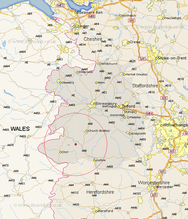
Shropshire Map Showing Location of Edgton
Population: 107
District: South Shropshire
Easting: 338865 Northing: 285839
Latitude: 52.47 Longitude: -2.9
 = Edgton
District: South Shropshire
Easting: 338865 Northing: 285839
Latitude: 52.47 Longitude: -2.9
= Edgton
This Edgton map below is supplied by Google. Use the tools in the top left corner to zoom into street level or zoom out for a road map, you may also need to zoom in to see Edgton on the map. Click and drag the map to move around. If the map fails to load try and refresh your browser or zoom in or out (+ or -).
Update - it seems Google no longer allow people to use their maps for free! This Edgton map sometimes loads and sometimes gives a error. I am working on a solution.
Closest 30 Towns or Cities to Edgton (Population over 500)
North Lydbury 3.39km Lydbury North 3.39km Wistanstow 3.39km Craven Arms 5.85km Clun 10.61km Church Stretton 11.47km Bucknell 11.62km Diddlebury 12.42km Rushbury 13.6km Shelve 14.14km Ludlow 15.86km Chirbury 17.94km Chirburg 17.94km Bitterley 18.5km Minsterley 18.66km Pontesbury 20.41km Caynham 20.47km Condover 22.77km Ditton Priors 22.87km Westbury 24.32km Baystonhill 24.44km Berrington 24.46km Hanwood 24.73km Great Hanwood 24.73km Cressage 26.65km Much Wenlock 27.93km Ford 28km Alberbury 28km Cleobury Mortimer 29.74km Shrewsbury 29.99km