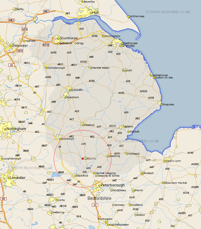
Lincolnshire Map Showing Location of Edenham
Population: 292
District: South Kesteven
Easting: 506816 Northing: 320001
Latitude: 52.77 Longitude: -0.42
 = Edenham
District: South Kesteven
Easting: 506816 Northing: 320001
Latitude: 52.77 Longitude: -0.42
= Edenham
This Edenham map below is supplied by Google. Use the tools in the top left corner to zoom into street level or zoom out for a road map, you may also need to zoom in to see Edenham on the map. Click and drag the map to move around. If the map fails to load try and refresh your browser or zoom in or out (+ or -).
Update - it seems Google no longer allow people to use their maps for free! This Edenham map sometimes loads and sometimes gives a error. I am working on a solution.
Closest 30 Towns or Cities to Edenham (Population over 500)
Bourne 2.24km Bourn 2.24km Morton 3.84km Rippingale 6.5km Thurlby 6.5km Corby 7.68km Baston 8.67km Castle Bytham 8.69km Langfoft 9.3km Langtoft 9.3km Pointon 10.82km Folkingham 11.18km Uffington 12.98km South Witham 13.59km Market Deeping 13.62km Stamford 13.73km Colsterworth 13.95km Billingborough 14.12km Ropsley 14.6km Deeping St Nicholas 15.61km Deeping St. Nicholas 15.61km Deeping Saint Nicholas 15.61km Deeping St. James 15.78km Deeping Saint James 15.78km Deeping St James 15.78km Spalding 16.92km Pinchbeck 18.31km Helpringham 20.11km Quadring 20.15km Gosberton 20.18km