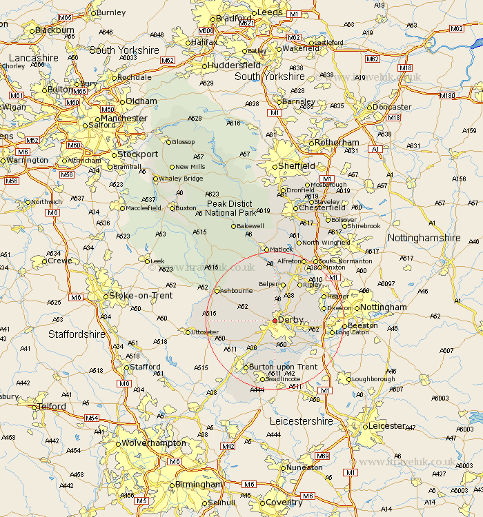
Derbyshire Map Showing Location of Derby
Population: 220866
Area Size (ha): 5351
Easting: 433603 Northing: 337474
Latitude: 52.93 Longitude: -1.5
 = Derby
Area Size (ha): 5351
Easting: 433603 Northing: 337474
Latitude: 52.93 Longitude: -1.5
= Derby
This Derby map below is supplied by Google. Use the tools in the top left corner to zoom into street level or zoom out for a road map, you may also need to zoom in to see Derby on the map. Click and drag the map to move around. If the map fails to load try and refresh your browser or zoom in or out (+ or -).
Update - it seems Google no longer allow people to use their maps for free! This Derby map sometimes loads and sometimes gives a error. I am working on a solution.
Closest 30 Towns or Cities to Derby (Population over 500)
Quarndon 1.86km Breadsall 3.35km Little Eaton 3.83km Duffield 3.88km Kirk Langley 4.47km Burnaston 7.13km Holbrook 7.74km Brailsford 8.04km Borrowash 8.65km Kilbourn 8.66km Kilburn 8.66km Kilbourne 8.66km Findern 9.53km Smalley 9.59km Etwall 9.99km Dale Abbey 10.05km West Hallam 10.22km Belper 11.34km Denby 11.44km Heage 11.61km Willington 11.61km Repton 11.61km Risley 12.43km Ripley 12.98km Egginton 12.99km Weston on Trent 12.99km Weston upon Trent 12.99km Weston-on-Trent 12.99km Ambergate Junction Station 13.02km Ambergate 13.02km