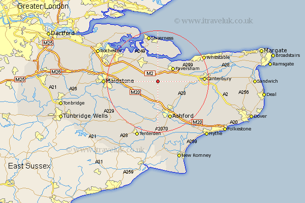
Kent Map Showing Location of Eastling
Population: 369
District: Swale
Easting: 596473 Northing: 155774
Latitude: 51.27 Longitude: 0.82
 = Eastling
District: Swale
Easting: 596473 Northing: 155774
Latitude: 51.27 Longitude: 0.82
= Eastling
This Eastling map below is supplied by Google. Use the tools in the top left corner to zoom into street level or zoom out for a road map, you may also need to zoom in to see Eastling on the map. Click and drag the map to move around. If the map fails to load try and refresh your browser or zoom in or out (+ or -).
Update - it seems Google no longer allow people to use their maps for free! This Eastling map sometimes loads and sometimes gives a error. I am working on a solution.
Closest 30 Towns or Cities to Eastling (Population over 500)
Doddington 3.48km Lynsted 4.37km Linsted 4.37km Ospringe 5.08km Bapchild 6.56km Selling 6.96km Oare 7.24km Teynham 7.41km Charing 7.51km Lenham 7.89km Faversham 8.03km Sittingbourne 8.74km Tunstall 8.9km Bredgar 8.92km Borden 9.84km Harrietsham 10km Pluckley 10.37km Egerton 10.94km Chilham 11.08km Dunkirk 11.74km Hollingbourne 11.75km Bobbing 12.31km Wye 12.33km Iwade 12.54km Stockbury 12.85km Hothfield 12.98km Ulcombe 13.77km Kennington 13.78km Newington 13.95km Chartham 14.04km