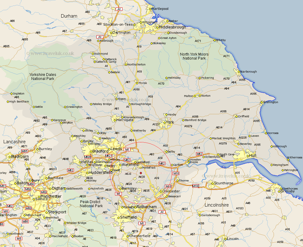
Yorkshire Map Showing Location of East Hardwick
Population: 191
District: Wakefield
Easting: 446263 Northing: 417308
Latitude: 53.65 Longitude: -1.3
 = East Hardwick
District: Wakefield
Easting: 446263 Northing: 417308
Latitude: 53.65 Longitude: -1.3
= East Hardwick
This East Hardwick map below is supplied by Google. Use the tools in the top left corner to zoom into street level or zoom out for a road map, you may also need to zoom in to see East Hardwick on the map. Click and drag the map to move around. If the map fails to load try and refresh your browser or zoom in or out (+ or -).
Update - it seems Google no longer allow people to use their maps for free! This East Hardwick map sometimes loads and sometimes gives a error. I am working on a solution.
Closest 30 Towns or Cities to East Hardwick (Population over 500)
High Ackworth 2.2km Ackworth Moor Top 2.2km Ackworth 2.2km Badsworth 3.7km Pontefract 3.7km Darrington 3.78km Upton 3.86km North Elmsall 4.96km Fitzwilliam 5.8km Hemsworth 6.46km Featherstone 7.08km Knottingly 7.09km Knottingley 7.09km South Kirkby 7.34km Moorthorpe 7.42km South Elmsall 7.5km Crofton 7.69km Brotherton 7.73km Norton 7.91km Castleford 8.12km Campsall 8.54km Normanton 9.48km Ryhill 9.54km Sutton 10.4km Whitley 10.55km Shafton 10.69km Brodsworth 11.34km Royston 11.35km Askern 11.6km Great Houghton 11.6km