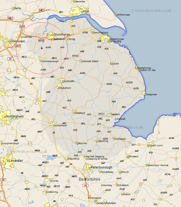
Lincolnshire Map Showing Location of East Ferry
Population: 100
District: West Lindsey
Easting: 481832 Northing: 399244
Latitude: 53.48 Longitude: -0.77
 = East Ferry
District: West Lindsey
Easting: 481832 Northing: 399244
Latitude: 53.48 Longitude: -0.77
= East Ferry
This East Ferry map below is supplied by Google. Use the tools in the top left corner to zoom into street level or zoom out for a road map, you may also need to zoom in to see East Ferry on the map. Click and drag the map to move around. If the map fails to load try and refresh your browser or zoom in or out (+ or -).
Update - it seems Google no longer allow people to use their maps for free! This East Ferry map sometimes loads and sometimes gives a error. I am working on a solution.
Closest 30 Towns or Cities to East Ferry (Population over 500)
Haxey 4.41km Epworth 4.97km Blyton 6.47km Scotter 6.62km West Butterwick 7.5km Scotton 7.94km Belton 8.12km Morton 9.33km Burringham 9.34km Messingham 9.51km Bottesford 10.7km Gainesborough 11.12km Gainsborough 11.12km Kirton 11.18km Kirton in Lindsey 11.18km Gunness 11.34km Gunhouse 11.34km Lea 13.01km Keadby 13.16km Crowle 13.39km Scunthorpe 13.54km Hibaldstow 15.55km Willingham 15.82km Flixborough 15.82km Scawby 16.4km Waddingham 16.96km Broughton 17.06km Marton 18.66km Burton 19.34km Burton upon Stather 19.34km