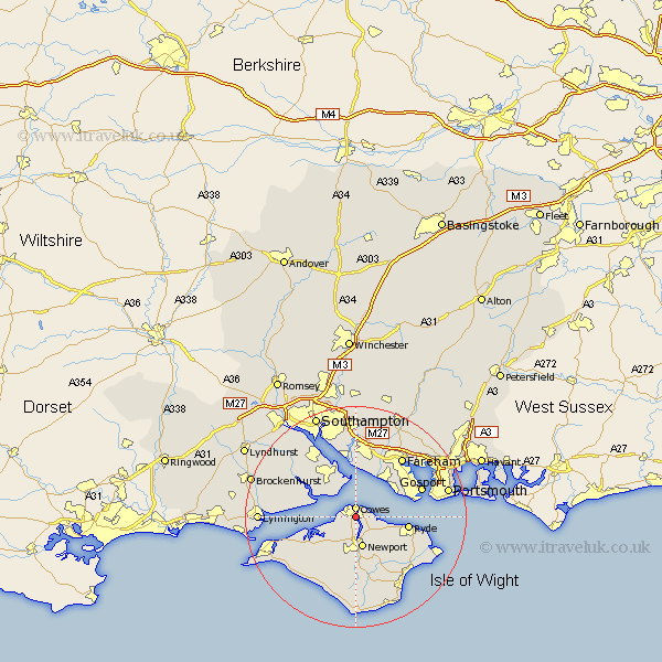
Hampshire Map Showing Location of East Cowes
Population: 6166
Easting: 449377 Northing: 94785
Latitude: 50.75 Longitude: -1.3
 = East Cowes
Easting: 449377 Northing: 94785
Latitude: 50.75 Longitude: -1.3
= East Cowes
This East Cowes map below is supplied by Google. Use the tools in the top left corner to zoom into street level or zoom out for a road map, you may also need to zoom in to see East Cowes on the map. Click and drag the map to move around. If the map fails to load try and refresh your browser or zoom in or out (+ or -).
Update - it seems Google no longer allow people to use their maps for free! This East Cowes map sometimes loads and sometimes gives a error. I am working on a solution.
Closest 30 Towns or Cities to East Cowes (Population over 500)
Gurnard 1.17km Cowes 1.86km Northwood 2.2km Newport 5.68km Wootton 5.98km Fawley 8.21km Lee on Solent 8.96km Lee on the Solent 8.96km Lee-on-Solent 8.96km Lee-on-the-Solent 8.96km Shalfleet 8.97km Ryde 9.56km Arreton 9.91km Rookley 11.18km Hample 11.18km Hamble 11.18km Newchurch 11.63km Calbourne 11.64km Locks Heath 12.22km Bewley 12.89km Beaulieu 12.89km Brading 12.9km Gosport 12.97km Bursledon 12.98km Netley 13.19km Netley Marsh 13.19km Ashurst 13.43km Shorwell 13.45km Fareham 13.82km Saint Helens 14.05km