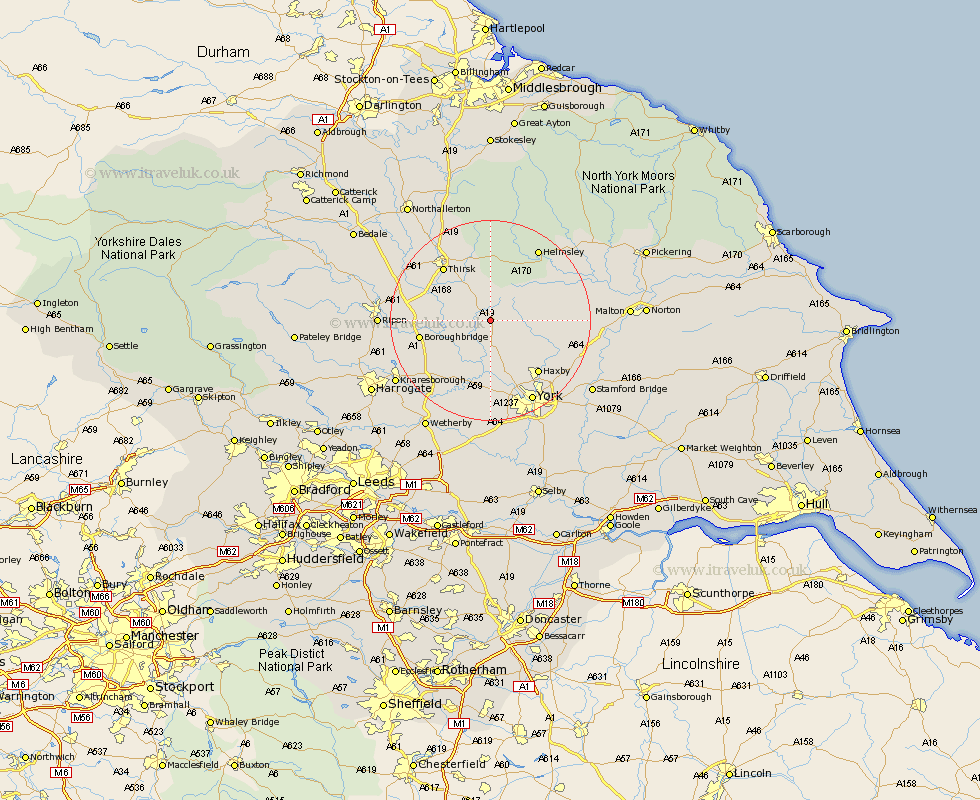
Yorkshire Map Showing Location of Easingwold
Population: 2787
Area Size (ha): 115
District: Hambleton
Easting: 452287 Northing: 469296
Latitude: 54.12 Longitude: -1.2
 = Easingwold
Area Size (ha): 115
District: Hambleton
Easting: 452287 Northing: 469296
Latitude: 54.12 Longitude: -1.2
= Easingwold
This Easingwold map below is supplied by Google. Use the tools in the top left corner to zoom into street level or zoom out for a road map, you may also need to zoom in to see Easingwold on the map. Click and drag the map to move around. If the map fails to load try and refresh your browser or zoom in or out (+ or -).
Update - it seems Google no longer allow people to use their maps for free! This Easingwold map sometimes loads and sometimes gives a error. I am working on a solution.
Closest 30 Towns or Cities to Easingwold (Population over 500)
Raskelf 3.75km Alne 4.3km Tollerton 5.67km Huby 5.72km Stillington 5.74km Newton upon Ouse 9.34km Newton 9.34km Shipton 9.83km Linton 9.83km Linton on Ouse 9.83km Linton upon Ouse 9.83km Linton-on-Ouse 9.83km Great Ouseburn 10.63km Ouseburn 10.63km Ampleforth 10.73km Marton le Moor 12.21km Marton 12.21km Strensall 13.16km Whixley 13.48km Boroughbridge 13.56km Sheriff Hutton 13.56km Skelton 13.69km Topcliffe 14.05km Thirsk 14.11km Wigginton 14.12km Haxby 14.12km Green Hammerton 14.53km Dishforth 14.59km Terrington 15.21km Hammerton 16.21km