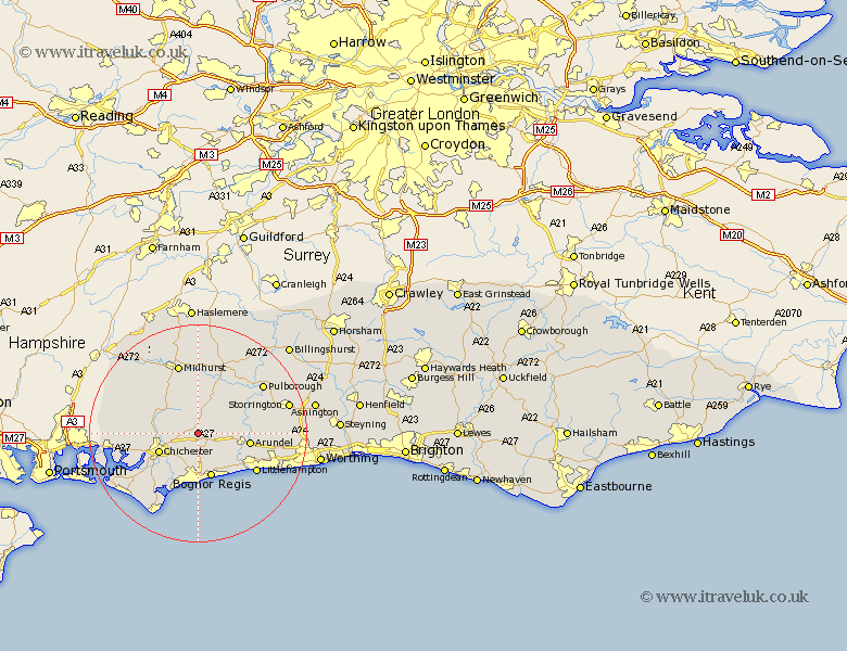
Sussex Map Showing Location of Eartham
Population: 107
District: Chichester
Easting: 492643 Northing: 108353
Latitude: 50.87 Longitude: -0.68
 = Eartham
District: Chichester
Easting: 492643 Northing: 108353
Latitude: 50.87 Longitude: -0.68
= Eartham
This Eartham map below is supplied by Google. Use the tools in the top left corner to zoom into street level or zoom out for a road map, you may also need to zoom in to see Eartham on the map. Click and drag the map to move around. If the map fails to load try and refresh your browser or zoom in or out (+ or -).
Update - it seems Google no longer allow people to use their maps for free! This Eartham map sometimes loads and sometimes gives a error. I am working on a solution.
Closest 30 Towns or Cities to Eartham (Population over 500)
Boxgrove 2.99km Tangmere 2.99km Slindon 3.97km Oving 4.39km Eastergate 4.39km Walberton 5.03km Westergate 6.31km Barnham 6.58km Lavant 7.26km Graffham 7.41km Chichester 7.94km Bognor Regis 8.49km Mundham 8.77km North Mundham 8.77km Ford 8.96km Bury 8.98km Fishbourne 8.99km Bersted 9.27km Yapton 9.45km Arundel 9.54km Bognor 9.56km Felpham 9.56km Donnington 10.21km Dunnington 10.21km Middleton on Sea 10.39km Middleton-on-Sea 10.39km Middleton 10.39km Sidlesham 11.63km Stoughton 11.84km Amberley 11.9km