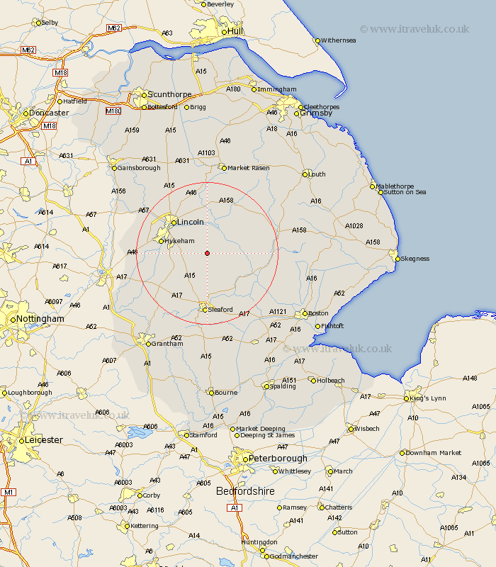
Lincolnshire Map Showing Location of Dunston
Population: 694
District: North Kesteven
Easting: 506989 Northing: 362656
Latitude: 53.15 Longitude: -0.4
 = Dunston
District: North Kesteven
Easting: 506989 Northing: 362656
Latitude: 53.15 Longitude: -0.4
= Dunston
This Dunston map below is supplied by Google. Use the tools in the top left corner to zoom into street level or zoom out for a road map, you may also need to zoom in to see Dunston on the map. Click and drag the map to move around. If the map fails to load try and refresh your browser or zoom in or out (+ or -).
Update - it seems Google no longer allow people to use their maps for free! This Dunston map sometimes loads and sometimes gives a error. I am working on a solution.
Closest 30 Towns or Cities to Dunston (Population over 500)
Dunston 0km Metheringham 1.86km Nocton 2.16km Potter Hanworth 3.87km Scopwick 5.56km Branston 5.78km Martin 5.79km Heighington 7.12km Bloxholme 7.5km Bloxholm 7.5km Digby 7.74km Washingborough 8.64km Waddington 9.08km Bardney 9.27km Reepham 9.52km Fiskerton 9.52km Cherry Willingham 9.55km Navenby 9.57km Wellingore 10.49km Billinghay 10.75km Brauncewell 11.34km Woodhall Spa 12.23km Hykeham 12.77km North Hykeham 12.77km Lincoln 12.83km Buskington 13.02km Ruskington 13.02km Sudbrooke 13.4km Welbourn 13.64km Cranwell 13.72km