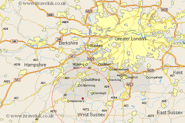
Surrey Map Showing Location of Dunsfold
Population: 930
District: Waverley
Easting: 500348 Northing: 134446
Latitude: 51.1 Longitude: -0.57
 = Dunsfold
District: Waverley
Easting: 500348 Northing: 134446
Latitude: 51.1 Longitude: -0.57
= Dunsfold
This Dunsfold map below is supplied by Google. Use the tools in the top left corner to zoom into street level or zoom out for a road map, you may also need to zoom in to see Dunsfold on the map. Click and drag the map to move around. If the map fails to load try and refresh your browser or zoom in or out (+ or -).
Update - it seems Google no longer allow people to use their maps for free! This Dunsfold map sometimes loads and sometimes gives a error. I am working on a solution.
Closest 30 Towns or Cities to Dunsfold (Population over 500)
Chiddingfold 3.49km Alfold 3.95km Hambledon 3.95km Witley 5.95km Cranleigh 6.89km Milford 8.76km Bramley 9.34km Haslemere 9.5km Goldaming 9.55km Godalming 9.55km Wonersh 9.55km Ewhurst 10.02km Thursley 11.11km Shalford 11.12km Hindhead 11.64km Elstead 11.9km Compton 12.05km Albury 12.55km Guilford 12.98km Guildford 12.98km Puttenham 13.13km Shere 13.13km St. Martha 13.44km St Martha 13.44km Chilworth 13.44km Saint Martha 13.44km Abinger 14.87km Seale 15.27km Ockley 15.57km Wotton 16.95km