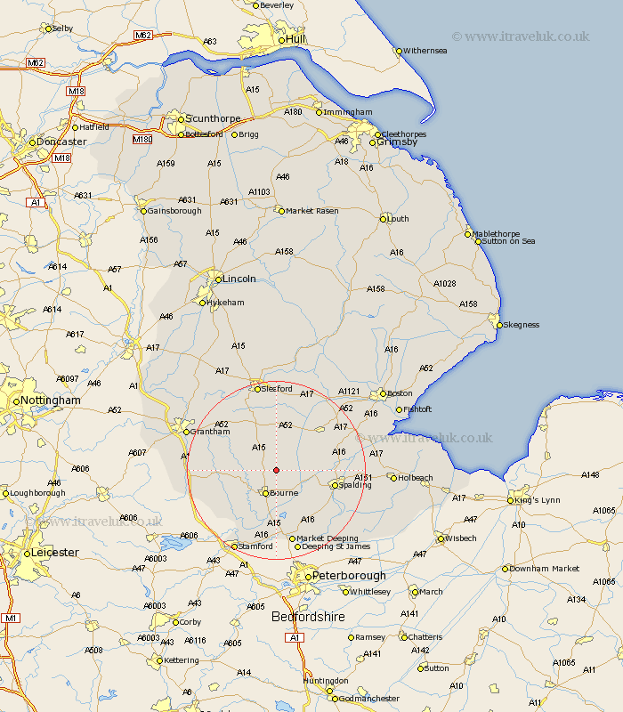
Lincolnshire Map Showing Location of Dunsby
Population: 141
District: South Kesteven
Easting: 511185 Northing: 325663
Latitude: 52.82 Longitude: -0.35
 = Dunsby
District: South Kesteven
Easting: 511185 Northing: 325663
Latitude: 52.82 Longitude: -0.35
= Dunsby
This Dunsby map below is supplied by Google. Use the tools in the top left corner to zoom into street level or zoom out for a road map, you may also need to zoom in to see Dunsby on the map. Click and drag the map to move around. If the map fails to load try and refresh your browser or zoom in or out (+ or -).
Update - it seems Google no longer allow people to use their maps for free! This Dunsby map sometimes loads and sometimes gives a error. I am working on a solution.
Closest 30 Towns or Cities to Dunsby (Population over 500)
Rippingale 1.12km Pointon 3.87km Morton 3.88km Bourn 5.99km Bourne 5.99km Folkingham 6.5km Billingborough 7.49km Thurlby 11.18km Corby 11.36km Spalding 12.87km Baston 12.98km Langtoft 13.03km Langfoft 13.03km Helpringham 13.39km Ropsley 13.42km Quadring 13.51km Pinchbeck 13.57km Donington 13.68km Gosberton 13.94km Surfleet 14.67km Deeping Saint Nicholas 15.02km Deeping St. Nicholas 15.02km Deeping St Nicholas 15.02km Castle Bytham 15.43km Hale 15.48km Great Hale 15.48km Bicker 16.59km Market Deeping 17.02km Heckington 17.27km Colsterworth 18.02km