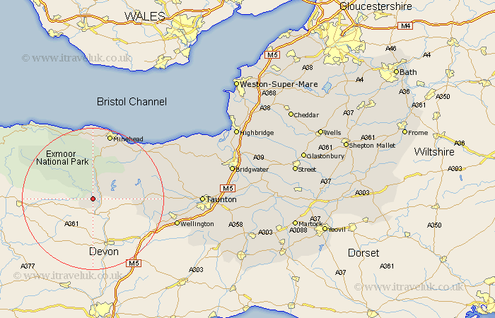
Somerset Map Showing Location of Dulverton
Population: 1486
District: West Somerset
Easting: 291328 Northing: 127195
Latitude: 51.03 Longitude: -3.55
 = Dulverton
District: West Somerset
Easting: 291328 Northing: 127195
Latitude: 51.03 Longitude: -3.55
= Dulverton
This Dulverton map below is supplied by Google. Use the tools in the top left corner to zoom into street level or zoom out for a road map, you may also need to zoom in to see Dulverton on the map. Click and drag the map to move around. If the map fails to load try and refresh your browser or zoom in or out (+ or -).
Update - it seems Google no longer allow people to use their maps for free! This Dulverton map sometimes loads and sometimes gives a error. I am working on a solution.
Closest 30 Towns or Cities to Dulverton (Population over 500)
Dulverton 0km Brushford 2.18km Wiveliscombe 16.32km Williton 16.96km Dunster 18.68km Carhampton 19.1km Minehead 19.11km Porlock 20.25km Stogumber 20.7km Milverton 21.06km Watchet 21.19km Wellington 24.47km Oake 24.55km Bishops Lydeard 25.9km West Buckland 26.7km Norton Fitzwarren 27.97km Nether Stowey 29.75km Taunton 30.3km Kingston 30.52km Trull 30.54km Pitminster 31.21km Spaxton 31.66km Stoke Courcy 33.53km Stogursey 33.53km Stokscourey 33.53km West Monkton 35.01km Durleigh 36.14km Otterhampton 36.6km Creech St. Michael 37.35km Creech Saint Michael 37.35km