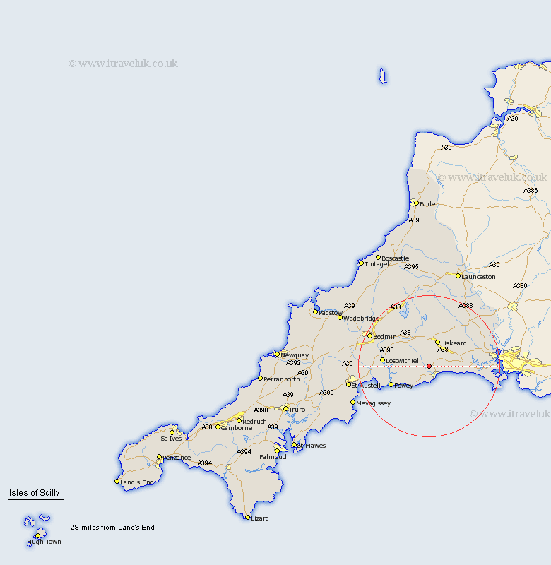
Cornwall Map Showing Location of Duloe
Population: 660
District: Caradon
Easting: 223473 Northing: 56727
Latitude: 50.38 Longitude: -4.48
 = Duloe
District: Caradon
Easting: 223473 Northing: 56727
Latitude: 50.38 Longitude: -4.48
= Duloe
This Duloe map below is supplied by Google. Use the tools in the top left corner to zoom into street level or zoom out for a road map, you may also need to zoom in to see Duloe on the map. Click and drag the map to move around. If the map fails to load try and refresh your browser or zoom in or out (+ or -).
Update - it seems Google no longer allow people to use their maps for free! This Duloe map sometimes loads and sometimes gives a error. I am working on a solution.
Closest 30 Towns or Cities to Duloe (Population over 500)
Morval 2.36km West Looe 3.77km Looe 3.77km Pelynt 4km Lanreath 5.91km Lansallos 6.19km Menheniot 7.3km Liskeard 7.78km Dobwalls 7.78km Lanteglos 10.97km Fowey 12.01km Lostwithiel 13.13km Sherviock 14.3km Sheviock 14.3km Tywardreath 14.66km Cardingham 16.22km Cardinham 16.22km St. Blazey 16.65km St Blazey 16.65km Saint Blazey 16.65km Par 16.96km Callington 18.36km Linkinhorne 18.61km North Hill 18.87km Bodmin 18.95km Saltash 19.26km Torpoint 20.18km Blisland 20.51km Millbrook 21.35km Lanivet 21.4km