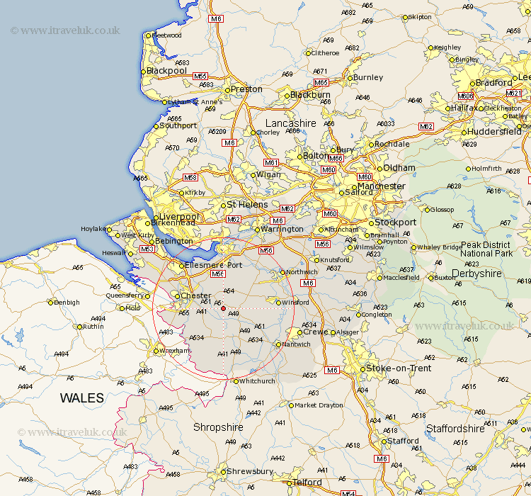
Cheshire Map Showing Location of Duddon
Population: 473
District: Chester
Easting: 350980 Northing: 363570
Latitude: 53.17 Longitude: -2.73
 = Duddon
District: Chester
Easting: 350980 Northing: 363570
Latitude: 53.17 Longitude: -2.73
= Duddon
This Duddon map below is supplied by Google. Use the tools in the top left corner to zoom into street level or zoom out for a road map, you may also need to zoom in to see Duddon on the map. Click and drag the map to move around. If the map fails to load try and refresh your browser or zoom in or out (+ or -).
Update - it seems Google no longer allow people to use their maps for free! This Duddon map sometimes loads and sometimes gives a error. I am working on a solution.
Closest 30 Towns or Cities to Duddon (Population over 500)
Tarvin 4.32km Waverton 4.44km Tarporley 4.82km Ashton 5.56km Barrow 5.78km Great Barrow 5.78km Tattenhall 5.99km Kelsall Hill 6.48km Kelsall 6.48km Kelshall Hill 6.48km Christleton 6.92km Delamere 7.12km Mickle Trafford 7.85km Bunbury 7.86km Little Budworth 9.08km Harthill 9.34km Dunham 10.27km Dunham-on-the-Hill 10.27km Dunham on the Hill 10.27km Elton 10.8km Helsby 11.34km Cuddington 11.56km Kingsley 11.97km Chester 12.76km Whitegate 13.42km Weaverham 13.62km Farndon 13.65km Tilston 14.12km Acton 14.23km Mollington 14.28km