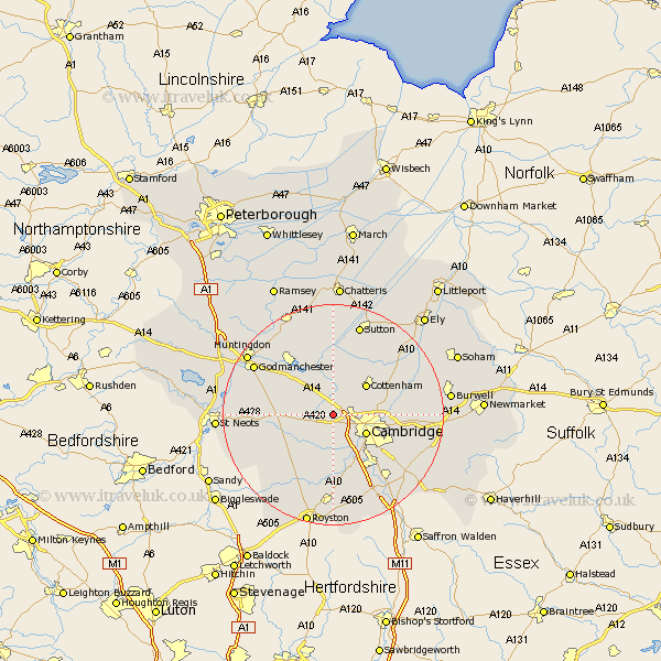
Cambridgeshire Map Showing Location of Dry Drayton
Population: 582
District: South Cambridgeshire
Easting: 538842 Northing: 261448
Latitude: 52.23 Longitude: 0.03
 = Dry Drayton
District: South Cambridgeshire
Easting: 538842 Northing: 261448
Latitude: 52.23 Longitude: 0.03
= Dry Drayton
This Dry Drayton map below is supplied by Google. Use the tools in the top left corner to zoom into street level or zoom out for a road map, you may also need to zoom in to see Dry Drayton on the map. Click and drag the map to move around. If the map fails to load try and refresh your browser or zoom in or out (+ or -).
Update - it seems Google no longer allow people to use their maps for free! This Dry Drayton map sometimes loads and sometimes gives a error. I am working on a solution.
Closest 30 Towns or Cities to Dry Drayton (Population over 500)
Dry Drayton 0km Girton 3.4km Hardwick 3.87km Hardwicke 3.87km Coton 4.34km Oakington 4.35km Histon 4.9km Comberton 5.56km Long Stanton 5.67km Toft 6.52km Cambridge 6.78km Elsworth 7.06km Swavesey 7.76km Cottenham 7.94km Milton 7.94km Bourn 7.95km Needham Market 9.26km Over 9.34km Willingham 9.55km Hilton 9.81km Needingworth 9.88km Fen Stanton 10.07km St. Ives 10.07km St Ives 10.07km Saint Ives 10.07km Papworth Everard 10.22km Papworth 10.22km Hauxton 10.32km Waterbeach 10.38km Teversham 10.87km