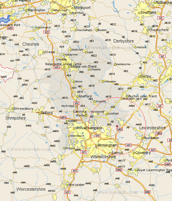
Staffordshire Map Showing Location of Drayton Bassett
Population: 916
District: Lichfield
Easting: 419187 Northing: 300322
Latitude: 52.6 Longitude: -1.72
 = Drayton Bassett
District: Lichfield
Easting: 419187 Northing: 300322
Latitude: 52.6 Longitude: -1.72
= Drayton Bassett
This Drayton Bassett map below is supplied by Google. Use the tools in the top left corner to zoom into street level or zoom out for a road map, you may also need to zoom in to see Drayton Bassett on the map. Click and drag the map to move around. If the map fails to load try and refresh your browser or zoom in or out (+ or -).
Update - it seems Google no longer allow people to use their maps for free! This Drayton Bassett map sometimes loads and sometimes gives a error. I am working on a solution.
Closest 30 Towns or Cities to Drayton Bassett (Population over 500)
Fazeley 2.17km Tamworth 2.92km Wigginton 6km Shenstone 8.7km Elford 9.26km Whittington 9.86km Edingale 11.34km Lichfield 11.46km Clifton Campville 11.46km Hammerwich 12.55km Alrewas 13.03km Aldridge 13.51km Brownhills 15.09km Burntwood 15.45km Rushall 15.76km Pelsall 15.86km Longdon 17.17km Yoxall 17.27km Armitage 18.6km Wallsall 19.13km Walsall 19.13km Norton Canes 19.24km Tatenhill 20.41km Branston 20.66km West Bromwich 21.27km Great Wyrley 21.66km Wyrley 21.66km Hednesford 22.11km Smethwick 22.15km Cannock 22.26km