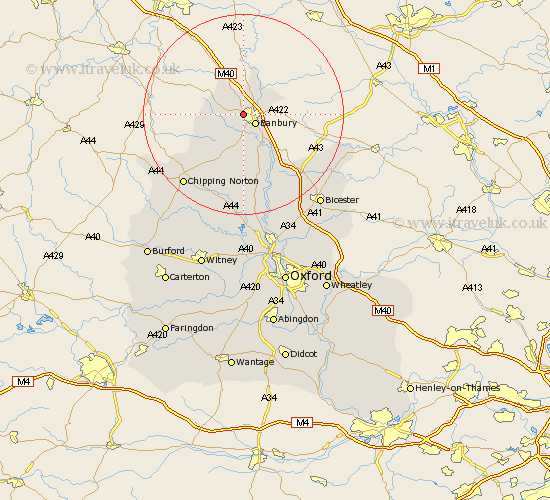
Oxfordshire Map Showing Location of Drayton
Population: 247
District: Cherwell
Easting: 443409 Northing: 241160
Latitude: 52.07 Longitude: -1.37
 = Drayton
District: Cherwell
Easting: 443409 Northing: 241160
Latitude: 52.07 Longitude: -1.37
= Drayton
This Drayton map below is supplied by Google. Use the tools in the top left corner to zoom into street level or zoom out for a road map, you may also need to zoom in to see Drayton on the map. Click and drag the map to move around. If the map fails to load try and refresh your browser or zoom in or out (+ or -).
Update - it seems Google no longer allow people to use their maps for free! This Drayton map sometimes loads and sometimes gives a error. I am working on a solution.
Closest 30 Towns or Cities to Drayton (Population over 500)
Wroxton 2.28km Banbury 2.94km Cropredy 5.04km Wardington 6.79km Bloxham 7.42km Adderbury 8.17km Barford St. John 9.27km Barford St John 9.27km Barford 9.27km Barford Saint John 9.27km Deddington 9.88km Hook Norton 12.24km Duns Tew 15.01km Fritwell 15.86km Upper Heyford 16.33km Steeple Aston 17.29km Enstone 17.63km Ardley 18.04km Chipping Norton 18.41km Barton 19.46km Caversfield 20.18km Fringford 21.48km Tackley 22.5km Chadlington 22.84km Kirtlington 23.27km Charlbury 23.27km Churchill 23.74km Bicester 23.74km Chesterton 23.95km Woodstock 24.34km