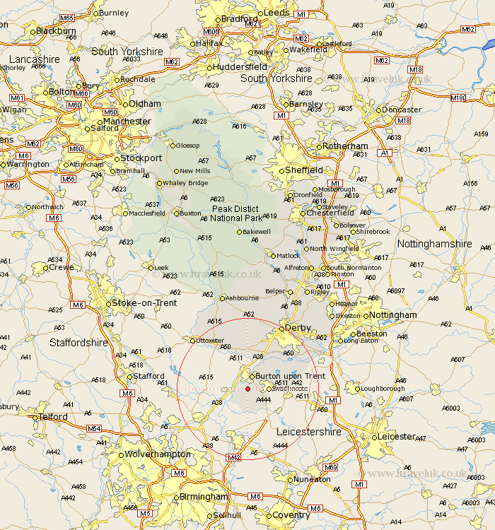
Derbyshire Map Showing Location of Drakelow
Population: 133
District: South Derbyshire
Easting: 424737 Northing: 318889
Latitude: 52.77 Longitude: -1.63
 = Drakelow
District: South Derbyshire
Easting: 424737 Northing: 318889
Latitude: 52.77 Longitude: -1.63
= Drakelow
This Drakelow map below is supplied by Google. Use the tools in the top left corner to zoom into street level or zoom out for a road map, you may also need to zoom in to see Drakelow on the map. Click and drag the map to move around. If the map fails to load try and refresh your browser or zoom in or out (+ or -).
Update - it seems Google no longer allow people to use their maps for free! This Drakelow map sometimes loads and sometimes gives a error. I am working on a solution.
Closest 30 Towns or Cities to Drakelow (Population over 500)
Rosliston 3.71km Bretby 3.84km Walton on Trent 3.84km Walton upon Trent 3.84km Walton 3.84km Walton-on-Trent 3.84km Burton-on-Trent 3.87km Burton on Trent 3.87km Burton upon Trent 3.87km Gresley 4.85km Church Gresley 4.85km Linton 5.01km Coton in the Elms 5.56km Swadlincote 5.61km Barton under Needwood 5.91km Barton-under-Needwood 5.91km Barton 5.91km Newton Solney 6.5km Overseal 7.14km Egginton 7.74km Hartshorne 7.85km Hartshorn 7.85km Woodville 8.07km Willington 9.29km Repton 9.29km Ticknall 10.75km Scropton 10.82km Etwall 11.34km Findern 11.44km Sudbury 13.61km