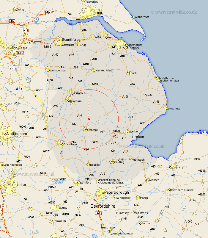
Lincolnshire Map Showing Location of Dorrington
Population: 340
District: North Kesteven
Easting: 508313 Northing: 353417
Latitude: 53.07 Longitude: -0.38
 = Dorrington
District: North Kesteven
Easting: 508313 Northing: 353417
Latitude: 53.07 Longitude: -0.38
= Dorrington
This Dorrington map below is supplied by Google. Use the tools in the top left corner to zoom into street level or zoom out for a road map, you may also need to zoom in to see Dorrington on the map. Click and drag the map to move around. If the map fails to load try and refresh your browser or zoom in or out (+ or -).
Update - it seems Google no longer allow people to use their maps for free! This Dorrington map sometimes loads and sometimes gives a error. I am working on a solution.
Closest 30 Towns or Cities to Dorrington (Population over 500)
Digby 2.15km Bloxholm 2.89km Bloxholme 2.89km Ruskington 3.71km Buskington 3.71km Brauncewell 3.82km Scopwick 3.87km Heasingham 5.99km Leasingham 5.99km Martin 6.48km Cranwell 6.69km Billinghay 6.93km Metheringham 7.49km Sleaford 8.35km Dunston 9.33km Navenby 9.64km Wellingore 10.68km Welbourn 11.14km Nocton 11.34km Tattershall 12.79km Heckington 12.98km Potter Hanworth 13.15km Fulbeck 13.87km Branston 14.11km Woodhall Spa 14.48km Hale 14.6km Great Hale 14.6km Waddington 14.96km Ancaster 14.98km Coningsby 15.5km