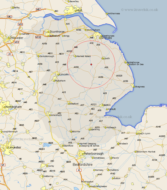
Lincolnshire Map Showing Location of Donington On Bain
Population: 341
District: East Lindsey
Easting: 523225 Northing: 381600
Latitude: 53.32 Longitude: -0.15
 = Donington On Bain
District: East Lindsey
Easting: 523225 Northing: 381600
Latitude: 53.32 Longitude: -0.15
= Donington On Bain
This Donington On Bain map below is supplied by Google. Use the tools in the top left corner to zoom into street level or zoom out for a road map, you may also need to zoom in to see Donington On Bain on the map. Click and drag the map to move around. If the map fails to load try and refresh your browser or zoom in or out (+ or -).
Update - it seems Google no longer allow people to use their maps for free! This Donington On Bain map sometimes loads and sometimes gives a error. I am working on a solution.
Closest 30 Towns or Cities to Donington On Bain (Population over 500)
Louth 10.45km Wragby 10.64km Holton 12.32km binbrook 13.15km Horncastle 13.17km Banovallum 13.17km Legbourne 13.41km Market Rasen 14.24km Bardney 15.7km Mareham-on-the-Hill 15.84km Mareham on the Hill 15.84km Mareham 15.84km Middle Rasen 16.18km Grimoldby 16.46km Fulstow 17.26km Manby 17.5km North Thoresby 17.95km Woodhall Spa 19.06km Scothern 20.28km Tetney 20.53km Cherry Willingham 20.55km North Coates 20.64km Sudbrooke 20.7km Fiskerton 21km Reepham 21km Dunholm 21.12km Dunholme 21.12km Caistor 21.57km Nettleton 21.57km Welton 22.22km