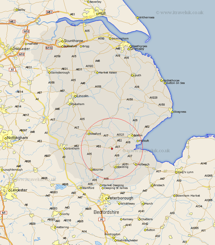
Lincolnshire Map Showing Location of Donington
Population: 2533
Area Size (ha): 95
District: South Holland
Easting: 521060 Northing: 335170
Latitude: 52.9 Longitude: -0.2
 = Donington
Area Size (ha): 95
District: South Holland
Easting: 521060 Northing: 335170
Latitude: 52.9 Longitude: -0.2
= Donington
This Donington map below is supplied by Google. Use the tools in the top left corner to zoom into street level or zoom out for a road map, you may also need to zoom in to see Donington on the map. Click and drag the map to move around. If the map fails to load try and refresh your browser or zoom in or out (+ or -).
Update - it seems Google no longer allow people to use their maps for free! This Donington map sometimes loads and sometimes gives a error. I am working on a solution.
Closest 30 Towns or Cities to Donington (Population over 500)
Bicker 2.91km Quadring 4.33km Swineshead 5km Gosberton 6.49km Helpringham 7.66km Sutterton 7.83km Great Hale 7.88km Hale 7.88km Surfleet 8.66km Billingborough 9.14km Heckington 9.28km Kirton 10.23km Pointon 10.54km Brothertoft 11.43km Pinchbeck 11.62km Frampton 12.43km Wyberton 12.84km Spalding 13.17km Folkingham 13.92km Weston 14.28km Rippingale 14.53km Boston 15.39km Moulton 16.43km Fishtoft 16.6km Morton 17.14km Whaplode 17.14km Sleaford 17.48km Holbeach 18.31km Frieston 18.32km Freiston 18.32km