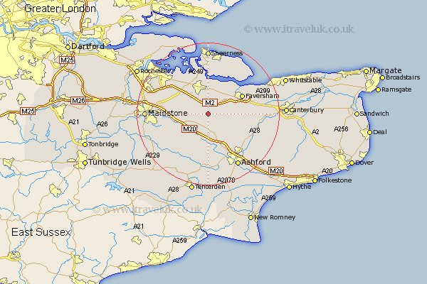
Kent Map Showing Location of Doddington
Population: 557
District: Swale
Easting: 592986 Northing: 155642
Latitude: 51.27 Longitude: 0.77
 = Doddington
District: Swale
Easting: 592986 Northing: 155642
Latitude: 51.27 Longitude: 0.77
= Doddington
This Doddington map below is supplied by Google. Use the tools in the top left corner to zoom into street level or zoom out for a road map, you may also need to zoom in to see Doddington on the map. Click and drag the map to move around. If the map fails to load try and refresh your browser or zoom in or out (+ or -).
Update - it seems Google no longer allow people to use their maps for free! This Doddington map sometimes loads and sometimes gives a error. I am working on a solution.
Closest 30 Towns or Cities to Doddington (Population over 500)
Lynsted 3.88km Linsted 3.88km Lenham 5.09km Bapchild 5.56km Bredgar 5.93km Tunstall 6.56km Harrietsham 6.89km Borden 7.24km Sittingbourne 7.49km Charing 7.77km Ospringe 7.88km Teynham 8.18km Hollingbourne 8.33km Pluckley 9.35km Egerton 9.56km Oare 9.83km Stockbury 9.84km Bobbing 10.36km Selling 10.44km Faversham 10.81km Ulcombe 11km Leeds 11.08km Iwade 11.36km Newington 11.58km Detling 12.89km Lower Halstow 13.11km Langley 13.29km Hothfield 13.44km Upchurch 13.76km Bearsted 13.92km