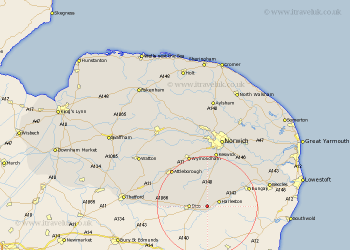
Norfolk Map Showing Location of Dickleburgh
District: South Norfolk
Easting: 618884 Northing: 281052
Latitude: 52.38 Longitude: 1.22
 = Dickleburgh
Easting: 618884 Northing: 281052
Latitude: 52.38 Longitude: 1.22
= Dickleburgh
This Dickleburgh map below is supplied by Google. Use the tools in the top left corner to zoom into street level or zoom out for a road map, you may also need to zoom in to see Dickleburgh on the map. Click and drag the map to move around. If the map fails to load try and refresh your browser or zoom in or out (+ or -).
Update - it seems Google no longer allow people to use their maps for free! This Dickleburgh map sometimes loads and sometimes gives a error. I am working on a solution.
Closest 30 Towns or Cities to Dickleburgh (Population over 500)
Scole 3.86km Brockdish 3.86km Pulham 4.35km Burston 4.89km Harleston 4.89km Diss 6.79km Roydon 8.13km Moulton St. Michael 9.55km Moulton St Michael 9.55km Moulton Saint Michael 9.55km Great Moulton 9.55km Moulton 9.55km Long Stratton 11.18km Bressingham 12.44km Bunwell 12.47km Forncett 13.03km Forncett St. Mary 13.03km Forncett St Mary 13.03km Forncett Saint Mary 13.03km Hempnall 14.15km Banham 14.48km North Lopham 14.82km Earsham 15.46km Old Buckenham 15.85km Kenninghall 16.78km Ashwellthorpe 16.83km Saxlingham Thorpe 17.02km Saxlingham 17.02km Ditchingham 17.37km Quidenham 17.48km